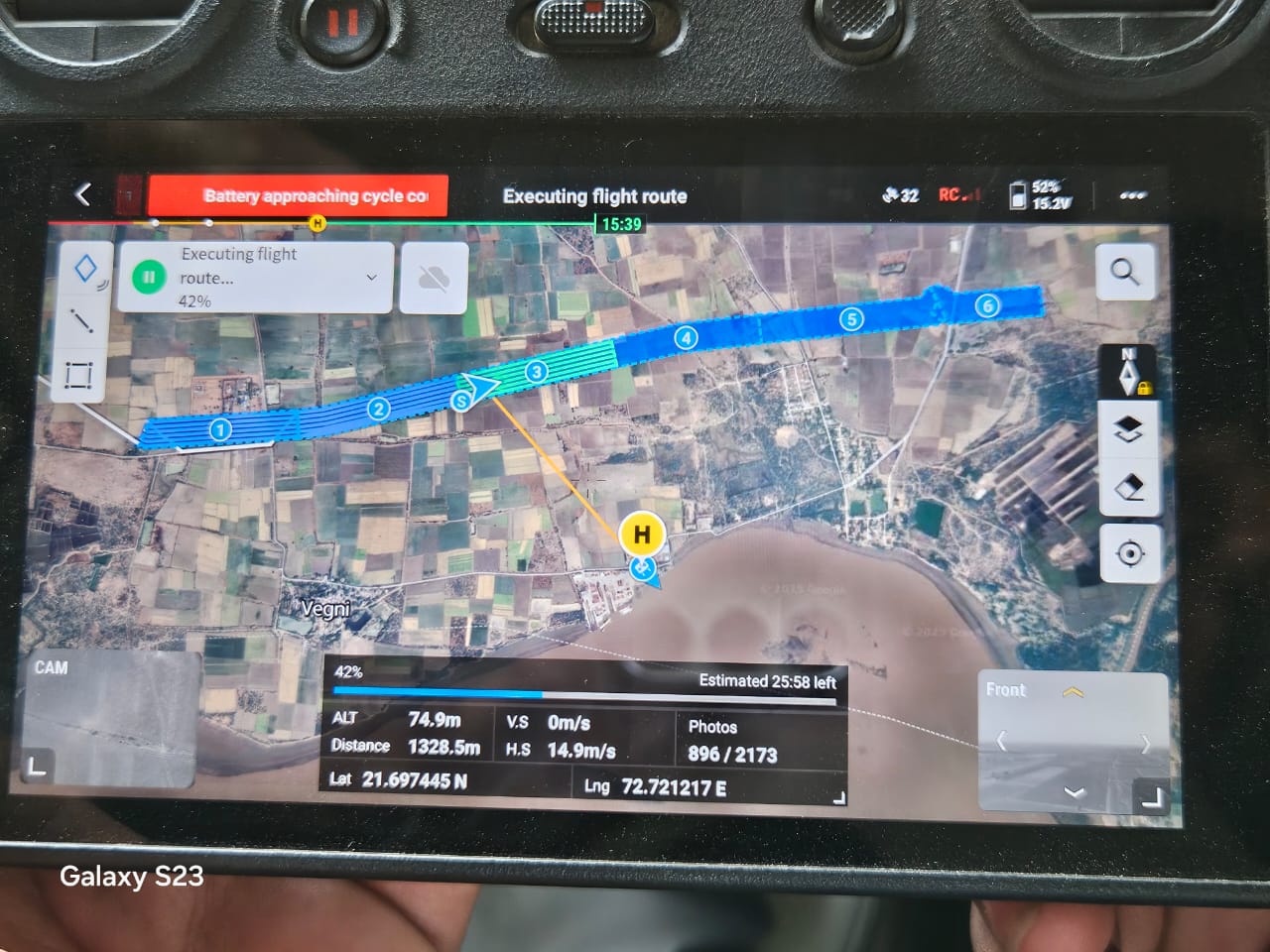
Laser-based scanning that generates dense 3D point clouds, penetrating vegetation canopy to capture true ground surface and complex structural geometry.
LiDAR scanning uses pulsed laser light — fired thousands of times per second from a drone-mounted or handheld sensor — to generate a dense 3D point cloud of everything the laser hits. Unlike photogrammetry, a meaningful portion of those laser pulses pass through gaps in vegetation canopy and reflect off the true ground beneath, letting Trishunya recover accurate bare-earth elevation even under tree cover.
This makes LiDAR the technology of choice for transmission line corridors running through dense forest, where photogrammetry alone can't see the ground; for canopy density and vegetation-height analysis; for as-built surveys of complex industrial plants with overlapping structures; and for defense and strategic terrain mapping where accuracy under cover is non-negotiable.
Send us your site location and requirement — we respond on WhatsApp within working hours, anywhere in India.
Field photos from current LiDAR Scan projects are being added — sample outputs are available on request over WhatsApp.