Drone Survey Price: RGB and LiDAR Rates for Area, Corridor and 3D Scan Work
Drone survey pricing splits along two lines that most first time buyers do not expect: RGB versus LiDAR sensor, and area versus corridor versus 3D scan scope. Get either one wrong when comparing quotes from different vendors, and the numbers will look wildly inconsistent even when every single quote on the table is entirely fair and accurate for what it covers.
The sensor choice alone can double, or more than double, the rate for an otherwise identical scope, and that difference is not padding or upsell. LiDAR sees through vegetation canopy in a way a standard camera simply cannot, which matters enormously on wooded, overgrown, or heavily planted sites where an RGB drone would only capture the treetops. Here is how the actual rate table works, broken down by sensor type and by the scope of work being surveyed.
RGB and LiDAR: Two Sensors Solving Different Problems
An RGB drone survey uses a standard camera sensor and produces an orthomosaic, a large, high resolution composite image of the whole site stitched together from hundreds or thousands of individual overlapping photographs, along with a Digital Surface Model showing elevation. It works well on open or lightly vegetated ground where the camera has a clear view straight down to the surface, and it is the more affordable option across every single category in this pricing table.
LiDAR works on a completely different principle. It fires rapid laser pulses at the ground rather than capturing reflected light through a lens, and enough of those pulses find gaps in tree canopy and reach the actual ground surface below, even on sites with genuine vegetation cover. That means LiDAR can generate accurate surface data on wooded or overgrown sites where an RGB camera would only ever capture the top of the canopy, never the ground beneath it. That single capability is exactly why LiDAR rates run close to double RGB rates across area, corridor, and 3D scan work alike, and it is not a markup, it reflects genuinely different equipment and processing.
-
-
-
Drone Survey Pricing by Scope
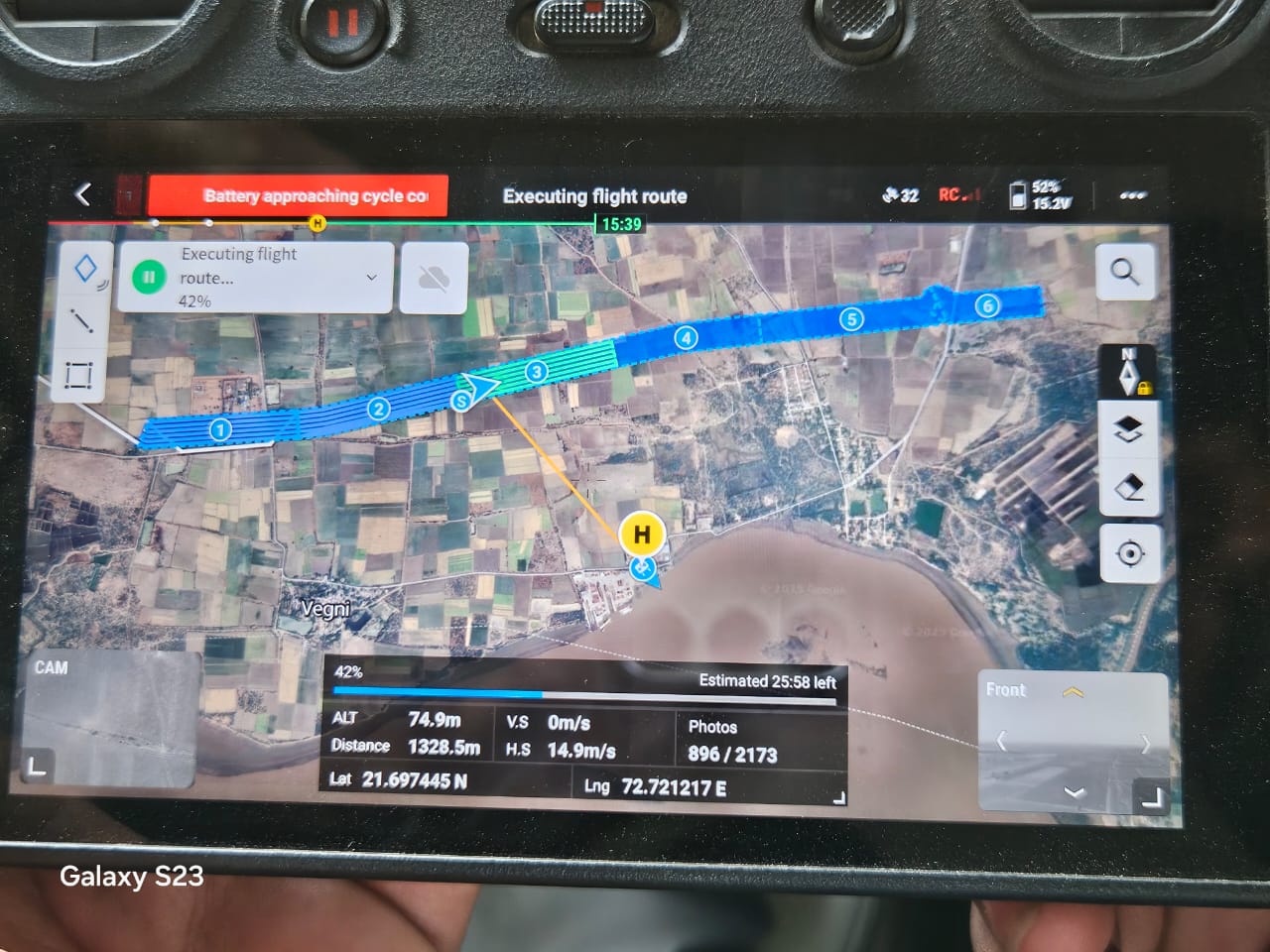
Drone survey pricing is quoted by scope type first, area, corridor, or 3D scan, and by sensor second, RGB or LiDAR, with rates stepping down as the covered size increases within each category.
Area and Corridor Survey Rates
Area survey is priced per square kilometre, and corridor survey, used for roads, canals, transmission lines, and pipeline routes, is priced per linear kilometre with a maximum right of way of 50 metres. Both include post processing for orthomosaic and DSM output as standard, not as an add on.
| Survey Type | RGB Rate |
|---|---|
| Area Survey, Less than 3 km² | Rs.20,000 / km² |
| Area Survey, More than 3 km² | Rs.15,000 / km² |
| Corridor Survey, Less than 5 km | Rs.10,000 / km |
| Corridor Survey, More than 5 km | Rs.7,000 / km |
| (See LiDAR rates in article table) | Rs.14,000-40,000 / km or km² |
Corridor survey right of way is capped at 50 metres in the standard rate. Wider corridors change the flight planning and area actually covered, which moves the quote outside the standard table.
3D City and Building Scan Rates
3D scan work sits in its own pricing tier above standard area and corridor survey, since the deliverable is a high accuracy 3D mesh model, not just an orthomosaic and DSM. City scan uses oblique grid flights to capture accuracy up to 3cm GSD, while building scan requires close proximity flying, as near as 8 metres for RGB and 20 metres for LiDAR, to capture the detail a mesh model needs.
Minimum Charges and Sensor Choice
A camera or RGB drone survey carries a minimum cost of Rs.20,000, while a LiDAR drone survey carries a Rs.50,000 minimum, reflecting the higher sensor and processing cost regardless of job size.
"People assume LiDAR is just the expensive option. It isn't. It is the only option that actually sees the ground on a site with real vegetation cover." Field practice note, drone survey operations
What Drone Survey Post Processing Actually Produces
The rate for any drone survey scope already includes post processing, not just the raw flight. That means the client receives finished outputs, not unprocessed image sets, and those outputs have real downstream uses well beyond a nice looking picture of the site.
| Deliverable | Use | Notes |
|---|---|---|
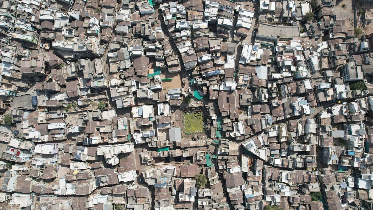
| Orthomosaic | GIS work, contour generation, feature extraction, and machine learning applications | - |
LiDAR fires laser pulses that penetrate vegetation canopy and still return accurate ground level data, which an RGB camera cannot do on wooded or overgrown sites. That capability, plus higher sensor and processing cost, is what drives the price difference.
Post processing is included in every quoted rate, not billed separately. That means orthomosaic and DSM generation for area and corridor survey, or full mesh model processing for 3D scan work, is already part of the number.
Standard drone survey typically achieves 8cm GSD accuracy. Higher accuracy, down to 1cm GSD, is possible with a customised scope of work tailored to the specific site and requirement.
The standard corridor survey rate covers up to 50 metres of right of way. Wider corridors change the flight planning and covered area, which moves the job outside the standard table and needs a direct quote.
3D scan work produces a full mesh model, not just an orthomosaic and DSM, and requires oblique grid flights or close proximity flying to capture the detail a mesh model needs, which adds significant flight and processing time.
RGB drone survey struggles under dense canopy since the camera only captures the top of the vegetation. LiDAR is the better choice here, since its laser pulses can reach the actual ground even through canopy gaps.
A camera or RGB drone survey carries a Rs.20,000 minimum. A LiDAR drone survey carries a Rs.50,000 minimum, reflecting the higher sensor and processing cost regardless of job size.
Beyond a visual model, building scan output supports digital twin creation, virtual tours, structural inspection, and Scan to BIM or Scan to HBIM workflows for existing structures.
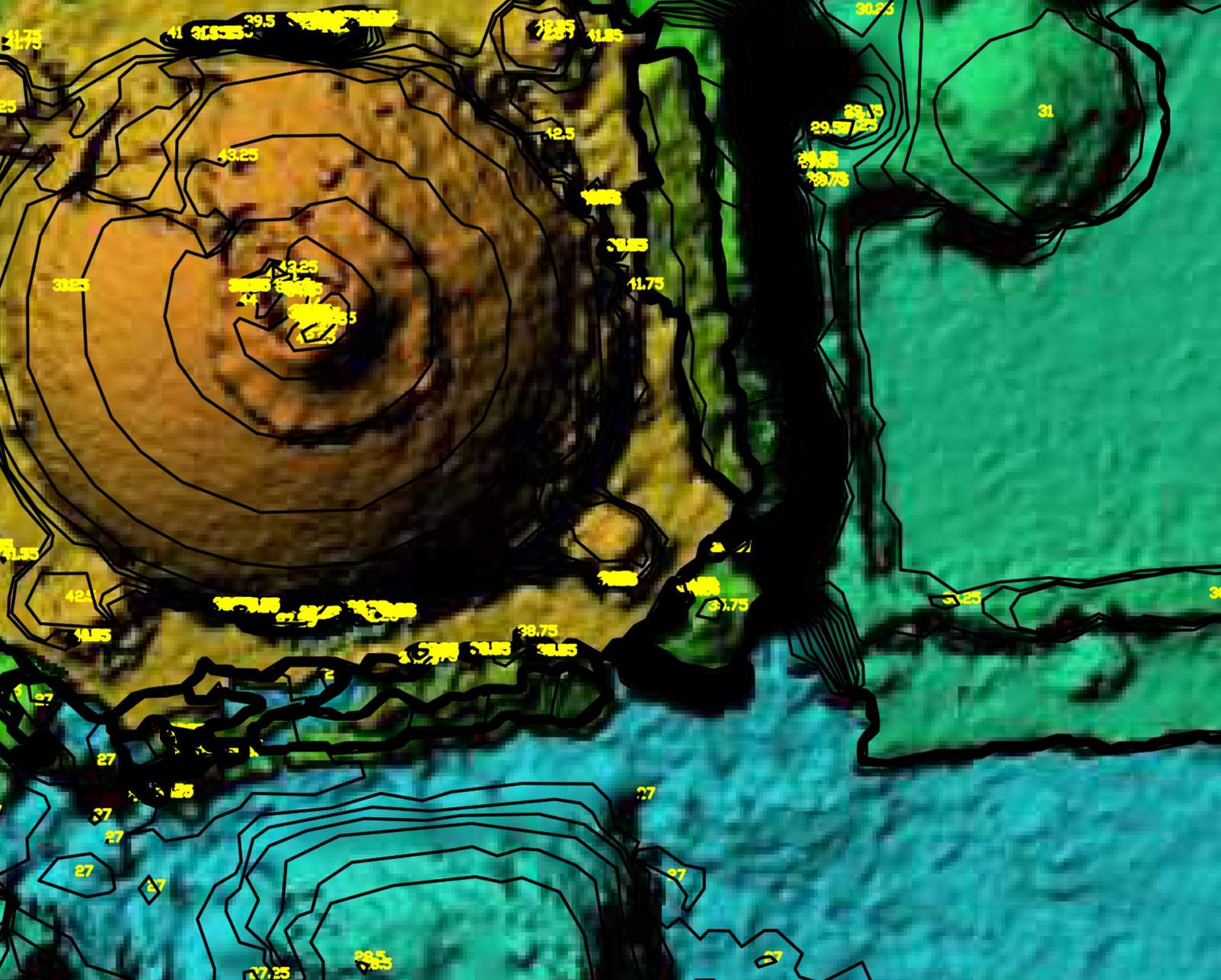
A DSM captures elevation across the site, shown as color coded contour data, and is useful for understanding a site's elevation profile and for generating contour drawings, separate from the flat orthomosaic image.
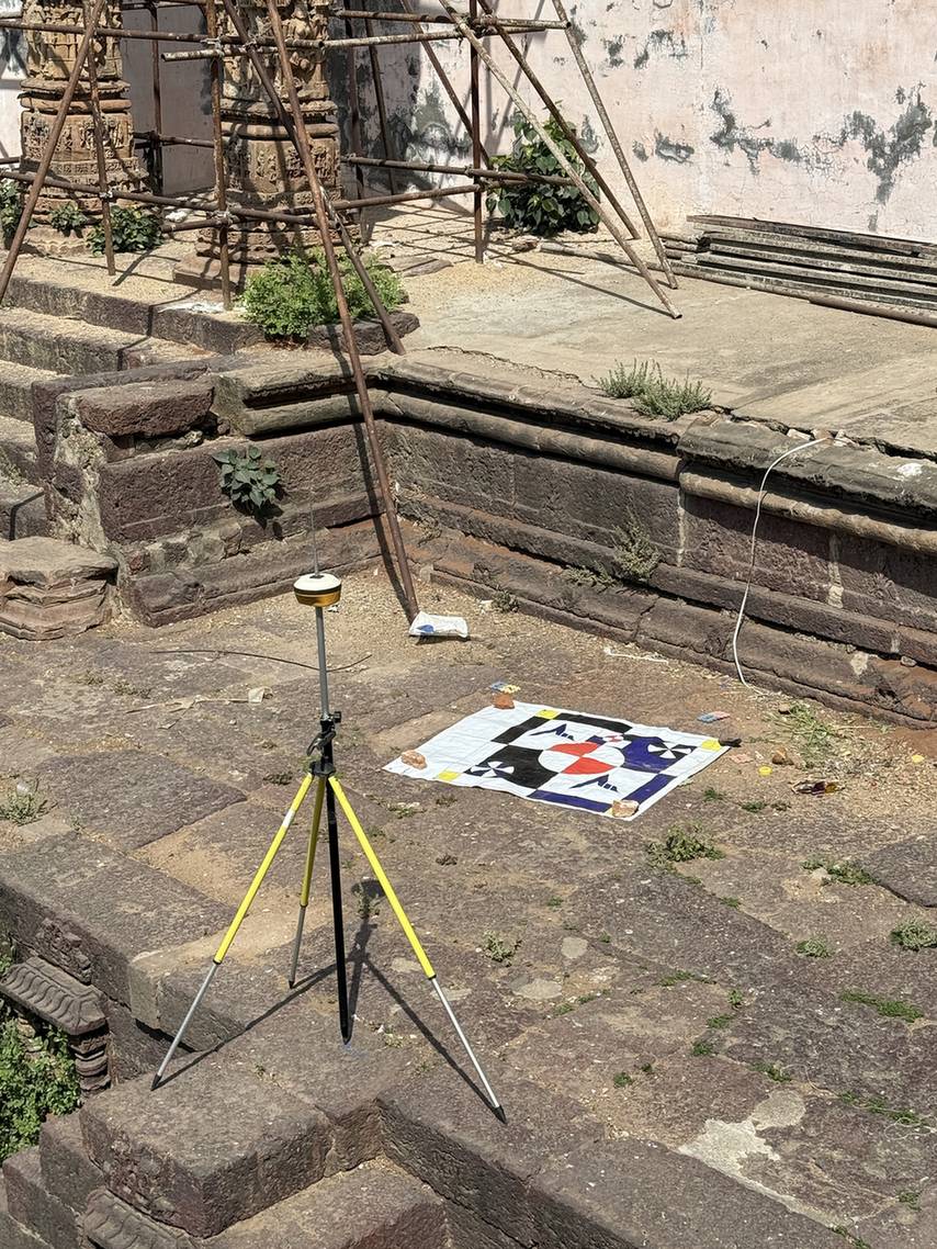
Ground control points, marked on site and measured with a DGPS base station, are used during post processing to validate drone captured data and achieve higher accuracy than raw drone positioning alone would provide.
3D Scan and Digital Twin Applications
Beyond standard mapping, 3D scan work supports uses that a flat orthomosaic simply cannot deliver: digital twin creation for ongoing facility management, virtual tours of heritage sites for public or academic access, structural inspection of buildings and towers, and Scan to BIM or Scan to HBIM workflows that feed directly into architectural and engineering design software. A city scan can additionally be delivered as LoD 1, LoD 2, or LoD 3 level GIS models depending on how much detail the client's downstream use case actually calls for.
Heritage and structural inspection work in particular benefits from LiDAR's ability to resolve fine detail without the accuracy loss that vegetation or complex geometry can cause on an RGB only capture.
Working on a heritage or structural inspection project?
3D scan work for digital twins, virtual tours, and Scan to BIM needs a different flight plan and sensor choice than standard area survey.
See Drone SurveyOn mixed vegetation sites, a hybrid approach, RGB for open ground and LiDAR for the wooded sections, sometimes delivers better value than committing the whole site to one sensor type.
Watch: Drone Survey in the Field
Minimum Charges and When to Choose Each Sensor
A camera or RGB drone survey carries a minimum cost of Rs.20,000, while a LiDAR drone survey carries a Rs.50,000 minimum, reflecting the higher sensor and processing cost regardless of job size. As a general rule, RGB suits open, accessible sites where cost matters most, while LiDAR earns its higher rate on vegetated, forested, or geometrically complex sites where ground truth accuracy cannot be compromised.
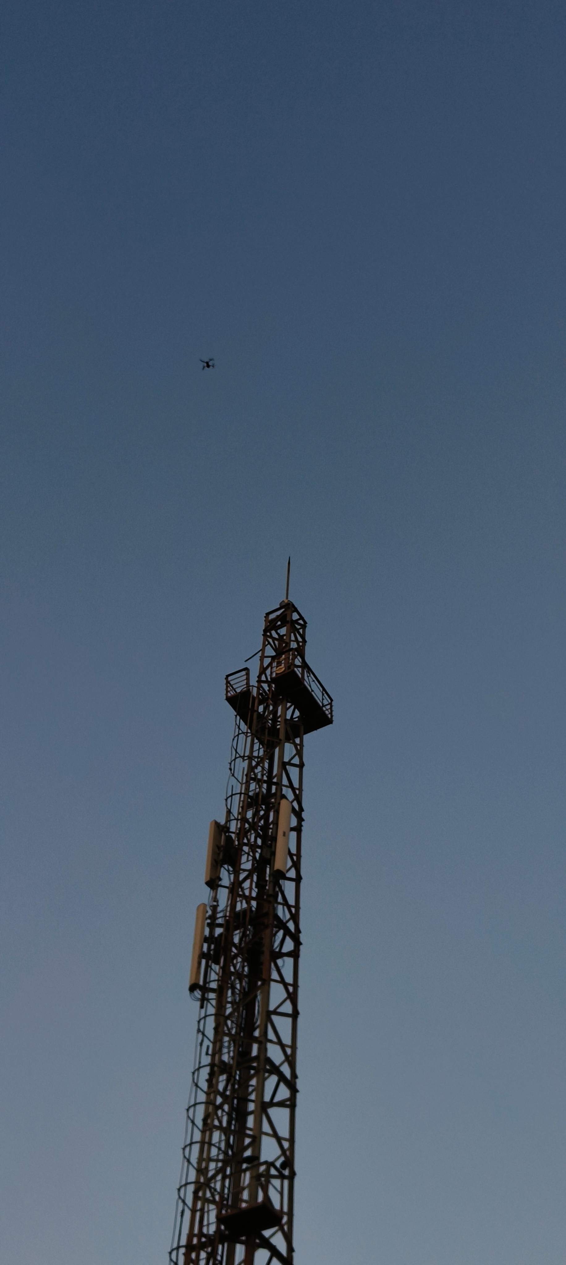
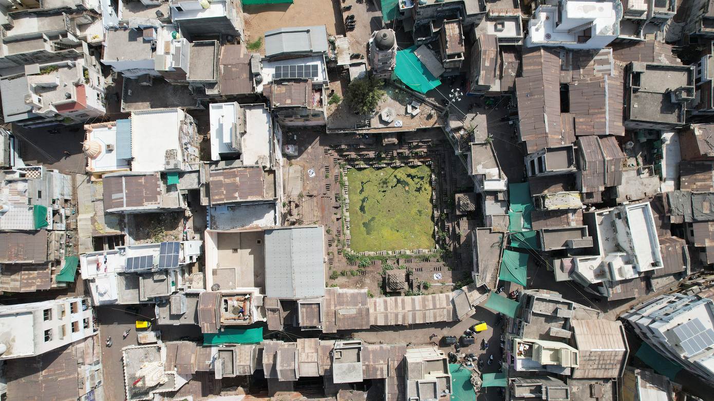
Watch: Telemetry and Corridor Survey Output
Telemetry data overlays latitude, longitude, and chainage directly onto drone video footage, which is particularly useful for linear corridor projects like roads, transmission lines, and pipelines, where a client needs to verify exactly which stretch of the route a given piece of footage covers.
More From the Field


More From the Field, Video
Closing
Drone survey pricing reflects two real variables, not arbitrary tiers dreamed up to look impressive on a rate card: the sensor that actually fits the site's vegetation cover and geometric complexity, and the scope that matches what the client genuinely needs delivered, whether that is a flat orthomosaic for basic mapping or a full 3D mesh model for structural or heritage work.
Whether the requirement is a straightforward area survey, a linear corridor for a transmission line, or a full 3D scan of a heritage structure, Trishunya's drone survey teams work across RGB and LiDAR platforms throughout India, and the fastest way to land on an accurate number is to walk through the site and scope directly with the team.