Tree Enumeration Survey for a Gujarat Transmission Line Corridor
A tree enumeration survey looks simple from the outside: count the trees, note their species. In the field it means yellow paint, waterlogged ground, and a data set that decides how fairly every farmer gets paid.
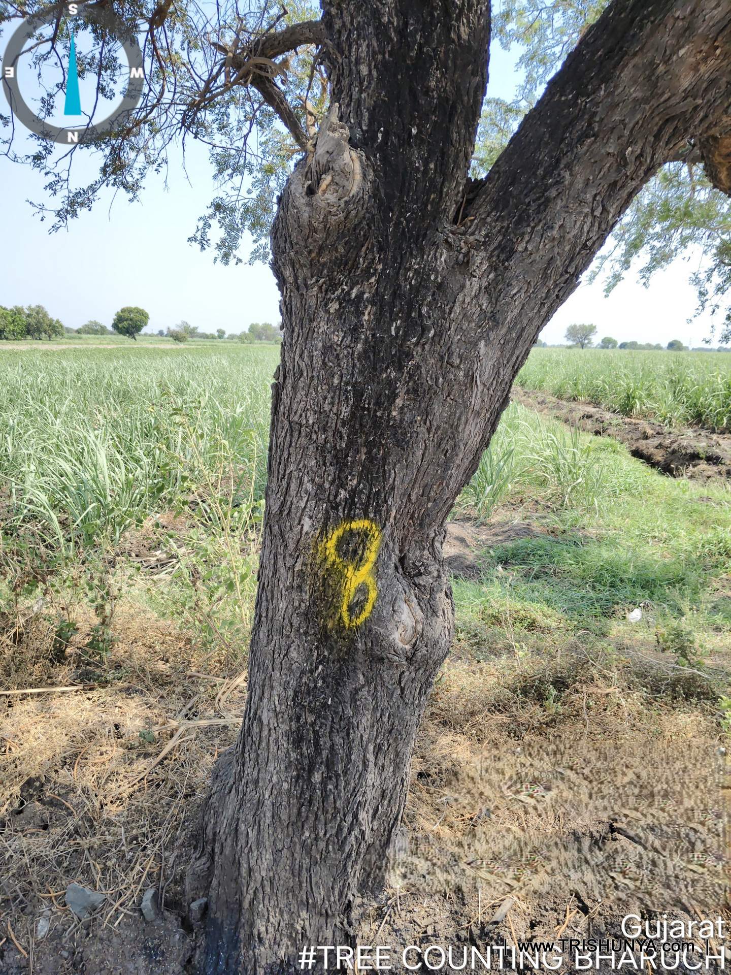
Every trunk along the corridor got a number in yellow paint before anyone wrote anything down. That was the starting point of this tree enumeration survey, carried out for a transmission line project in Gujarat where one part of Trishunya's scope was identifying, numbering, and recording every tree standing inside the line corridor. It sounds like a counting exercise. It is closer to a full field data collection project, and it decides how fairly farmers get compensated for the trees they lose.
What a Tree Enumeration Survey Actually Involves
The method itself is GPS based field work built around a simple sequence: mark the tree with a field number in paint, then record everything about it against that number. Girth at breast height, approximate height, species, GPS location, and a geo-tagged photograph, all logged against the same field number before the team moved to the next trunk.
| Attribute captured | How it's recorded | Why it matters |
|---|---|---|
| Field number | Yellow paint mark on trunk | Links every later record to one physical tree |
| Girth (DBH) | Measured at breast height on site | Standard input for compensation and species data |
| Approximate height | Field estimate, cross checked in office | Used alongside girth for tree valuation |
| Species and local name | Noted on mobile app, later translated | Needed in English and scientific form for client records |
| GPS location | Captured against corridor center line | Confirms whether the tree is inside or outside the corridor |
| Geo tagged photo | Taken against the same field number | Visual record for verification and dispute resolution |
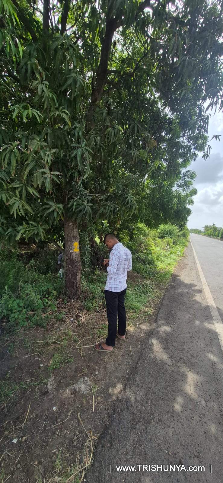
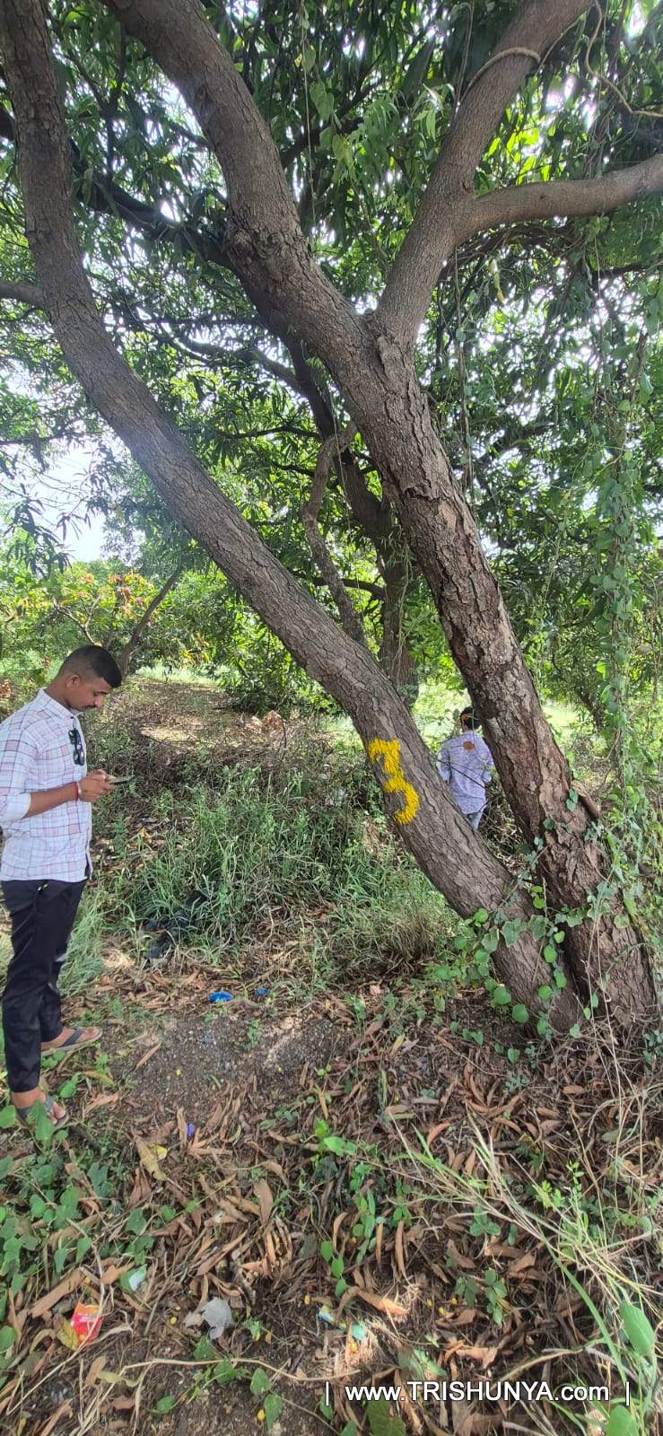
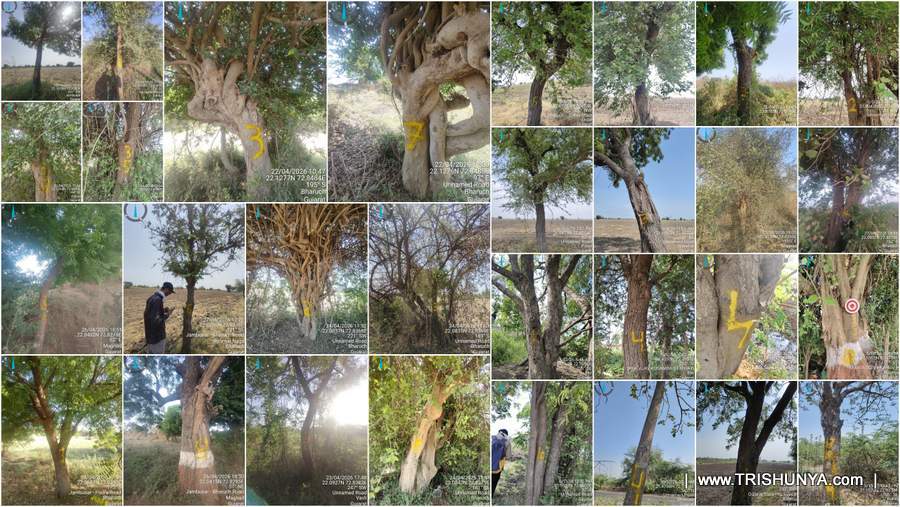
Photos of the actual paint marking, all from the same stretch of corridor, are worth seeing in sequence:
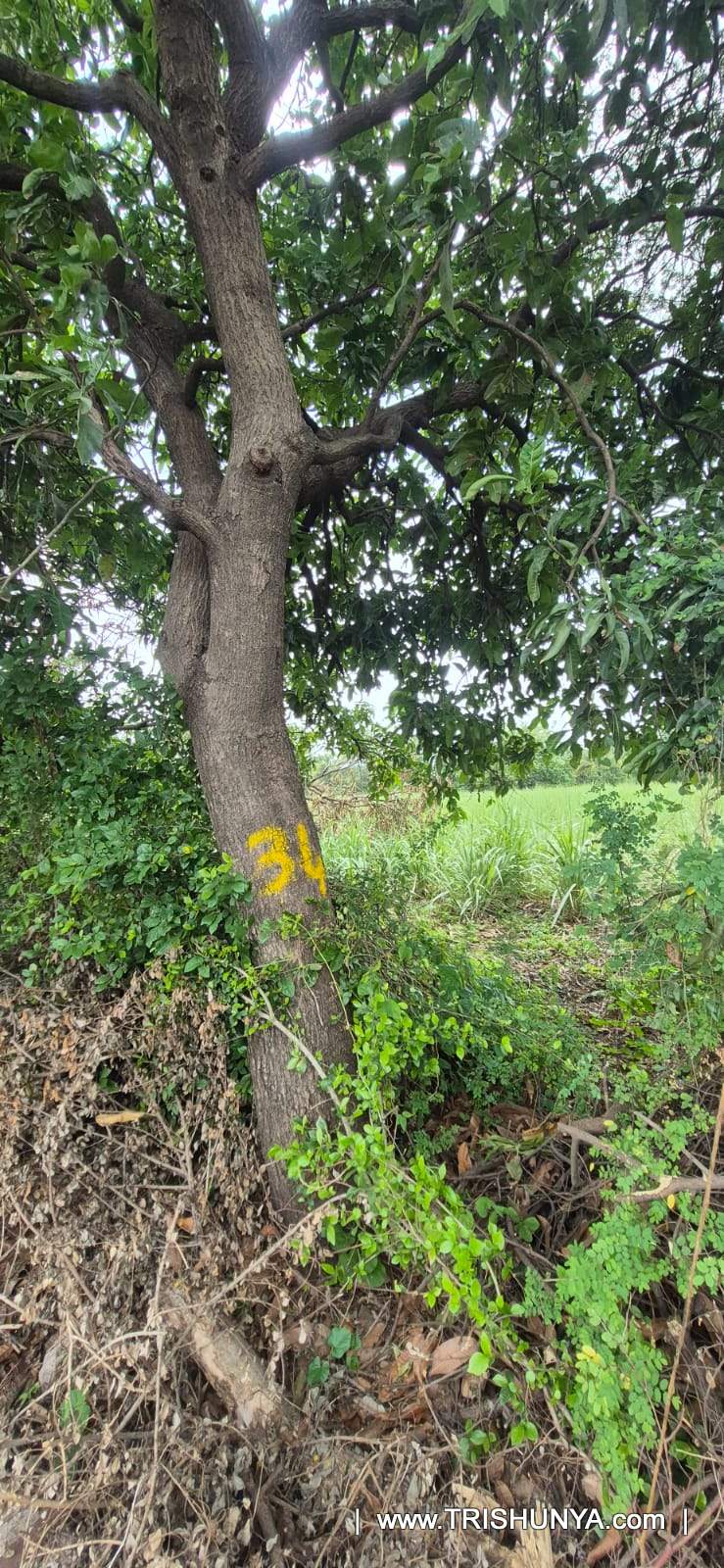
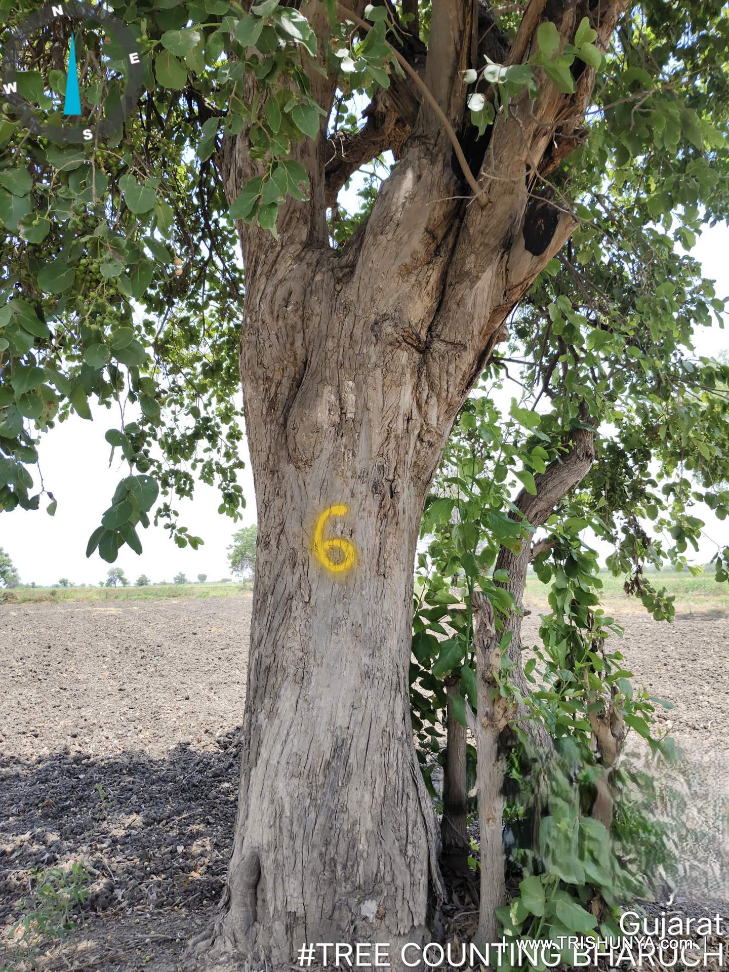
In the Field: Waterlogged Ground and Watching for Snakes
Reaching every tree physically, close enough to paint and measure it, is harder than it sounds. Dense vegetation collects at the base of most trees, some stretches of the corridor were waterlogged for long periods, and near water bodies the team occasionally came across snakes and other creatures that made caution part of the daily routine, not an exception to it.
Field safety note: waterlogged and vegetation heavy zones near water bodies carry a real risk of encountering snakes. Trishunya field teams stay alert to wildlife through every stage of tree enumeration fieldwork, not just in obviously risky terrain.
Enumeration exists so no farmer's tree gets missed. That is the entire point of doing it carefully. On why this survey step is treated as non negotiable
Government requirements make tree enumeration a mandatory exercise on most transmission line projects for exactly this reason: it protects farmers from being under compensated for trees the client's line will require to be cleared, and it gives the client a defensible, tree by tree record if a dispute ever comes up later.
From Paint Marks to Client Ready Tree Enumeration Survey Data
Field data alone is not deliverable data. Once the crew came back from site, Trishunya's office team ran the same records through a fixed sequence before anything went to the client.
- 1
Error correction
Field entries are checked and human entry errors are removed before anything else happens to the data set.
- 2
Sort data with images
Every record is matched and sorted against its geo tagged photograph so nothing is orphaned in the data set.
- 3
Machine learning cross check
On larger projects, an in house machine learning tool cross checks height data against past project experience and flags likely misidentified species.
- 4
Center line distance check
Each tree is marked left or right of the corridor center line with its distance, so any tree surveyed just outside the actual corridor can be identified and removed.
- 5
Name translation
Local tree names are converted into English, and where required, scientific names, for the client's records.
- 6
KMZ and client format delivery
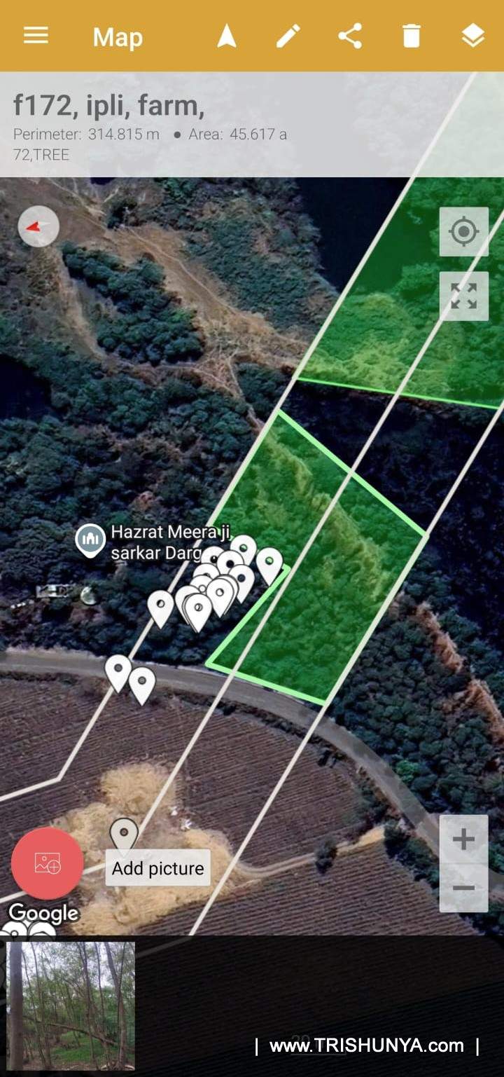
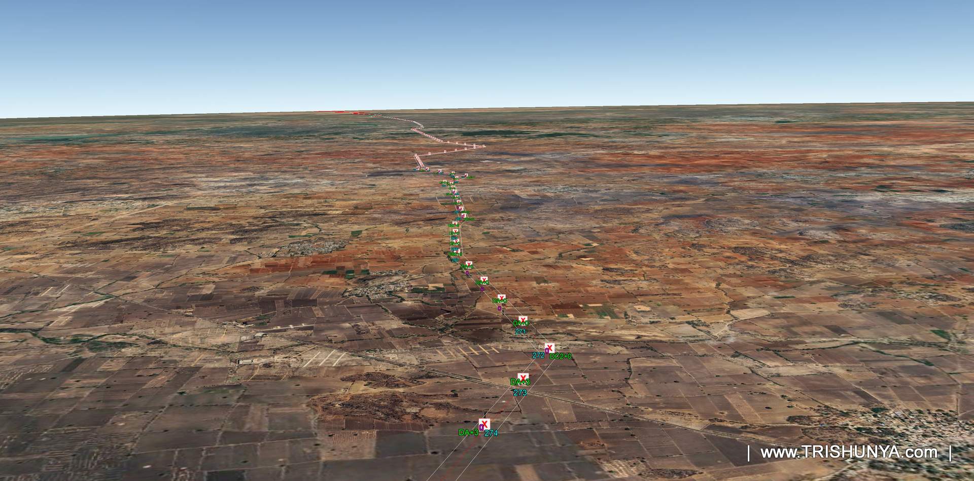
A KMZ file showing every tree with species and attributes is prepared, alongside data converted into the client's preferred enumeration format.
Most of this office stage runs through Trishunya's in house custom applications rather than manual spreadsheet work, which is what keeps turnaround fast without cutting into the accuracy of what the client receives.
Why This Step Matters for Transmission Line Projects
Tree enumeration rarely gets the attention that alignment surveys or land acquisition data does, but it carries the same weight for the farmers involved. A missed tree is a missed payment. A misidentified species can change a compensation calculation entirely. That is why Trishunya treats the office verification stage, the machine learning cross check, and the center line distance filtering as seriously as the field marking itself, not as an afterthought to it.
This kind of enumeration work sits alongside our broader tree enumeration survey service, and connects directly with the GIS mapping systems we use to turn field data into corridor ready KMZ files for transmission line clients.
Need a tree enumeration survey for your corridor?
Trishunya combines GPS field capture with in house data QC to deliver accurate, dispute ready tree enumeration data.
Get a Survey Quote on WhatsApp