Surveying a 765 kV Transmission Line Corridor Through Gujarat's Farmland
A transmission line corridor survey is never just about coordinates. This one ran across privately farmed land, under a Gujarat summer, with a police escort walking beside the DGPS rover.
A surveyor crouched at the edge of a fenced cotton field, a police constable standing a few feet away under a neem tree, and a DGPS rover blinking green in the afternoon heat, that was a fairly ordinary working day on this transmission line corridor survey in Gujarat. Trishunya was brought on as the surveying consultant for a 765 kV transmission line project belonging to a large limited company, and the brief was straightforward on paper: carry out land surveying across the corridor, prepare land acquisition data and drawings, and mark the alignment on site. In practice, every one of those three tasks had its own set of complications.
Why a Police Escort Became Part of This Transmission Line Corridor Survey
Land acquisition surveys for transmission line projects are unusual in one specific way: the surveyor is standing on someone's private field, uninvited by the field's owner, working on behalf of a client the farmer has never met. Most farmers along this corridor cooperated once the purpose was explained. A few did not, and that was reason enough for the client to arrange police protection for the duration of the fieldwork, so the survey could continue without confrontation while access to farmland was being negotiated on the ground.
The same video also shows something the client specifically valued: a drone survey run alongside the ground DGPS work, not as the primary deliverable, but as a quick way to verify alignment and check whether the ground team could physically reach certain stretches of the corridor before walking the long way round. That kind of cross checking is a small habit, and it saves a full day of backtracking more often than people expect.
The route on the drawing was a straight line. The route our team actually walked was anything but, because every farmer's boundary had its own fence. Field notes from the corridor survey team
Heat, Bushes, and Fences: the Real Obstacles
On a drawing, a transmission line corridor is a clean, straight strip. On the ground in Gujarat's farmland belt, it is a patchwork of privately fenced plots, each with its own boundary of dense vegetation. A surveyor could not simply walk parallel along the corridor from one end to the other. Instead, the team would complete one or two farms, walk around the fencing to find the next access point, then continue into the following plot. The alignment itself was simple. Getting a survey crew safely and repeatedly onto every parcel that crossed it was the actual work.
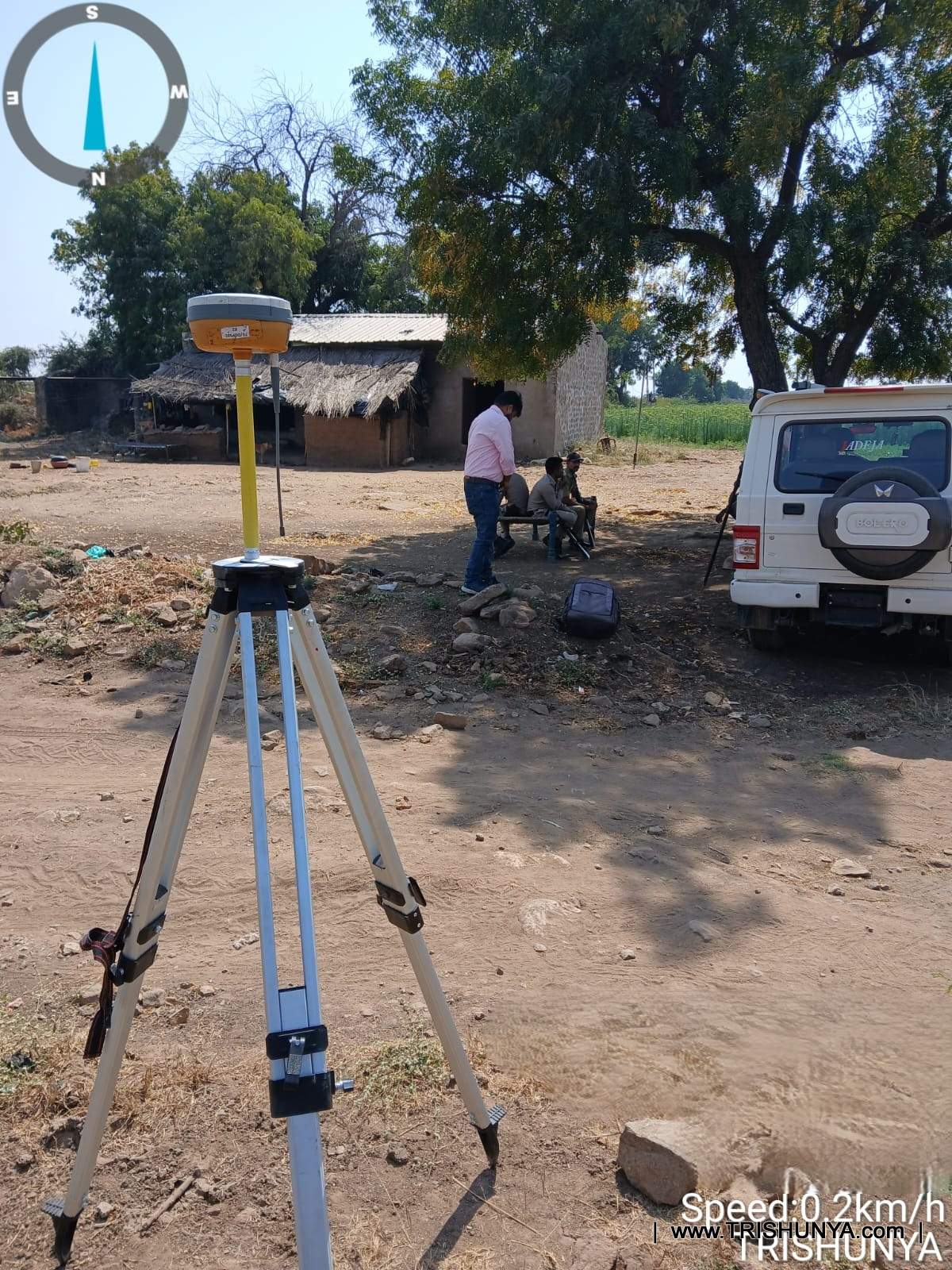
Fenced farmland boundaries
Every private plot along the corridor had its own vegetation fencing, forcing the team to detour around each field rather than walk the corridor in a straight line.
High daytime temperatures
Gujarat's daytime heat made covering long stretches of corridor for point capture physically demanding, and shaped how the day's route was sequenced.
Dense vegetation and stones
Uneven ground, bushes, and loose stones inside the corridor slowed movement between survey stations across farmland.
Farmer sentiment and access
Most farmers cooperated and guided the team to points inside their fields, but a few plots required police presence before survey work could proceed.
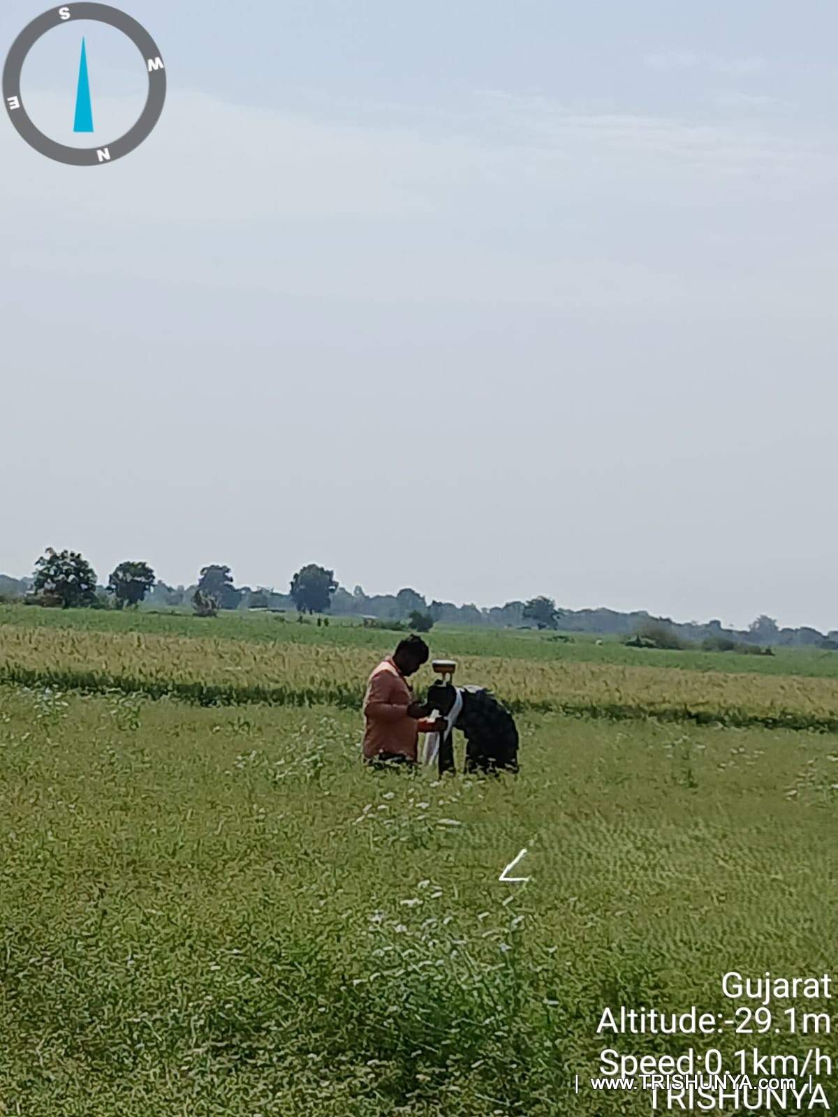
Walking the corridor itself often was not an option once crops were standing tall, so the team used the side walkway roads bordering each farm and only stepped into the crop cover when it was time to take a reading. The rhythm was consistent: locate the point on the app, step in through the crop, log the reading, mark the point on site, and step back out. It kept crop damage to a minimum, which mattered to the very farmers whose cooperation the survey depended on.
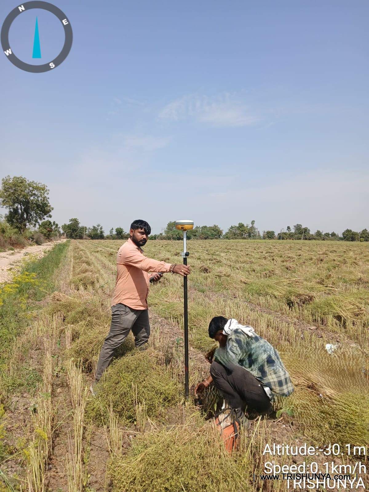
Field note
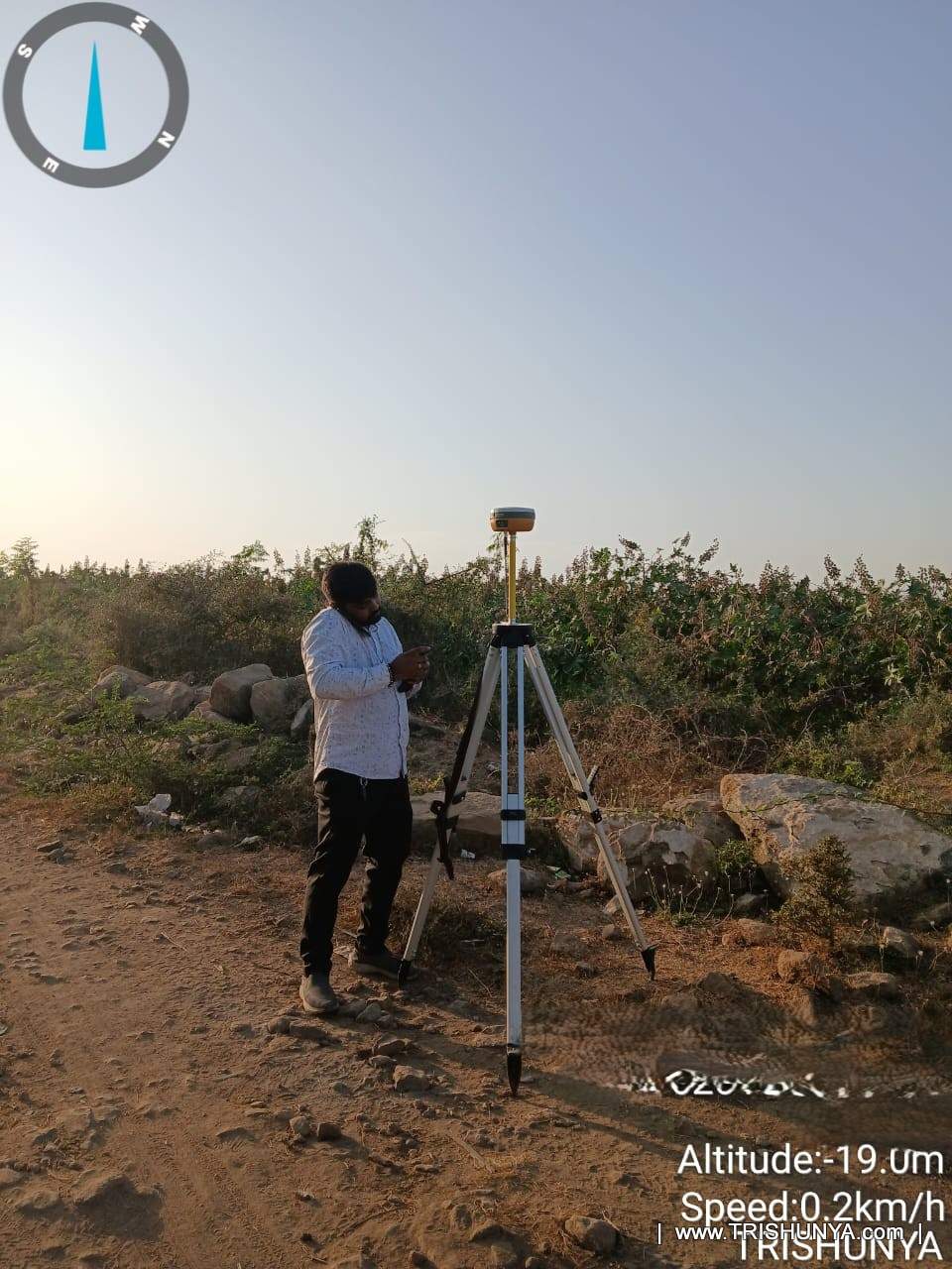
By late afternoon, the base station near the day's last stretch of corridor would be packed up for the day, ready to be relocated for the next interval of fieldwork rather than run continuously, which is how a project like this stretches across weeks rather than days.
From Transmission Line Corridor Survey Points to Land Acquisition Data
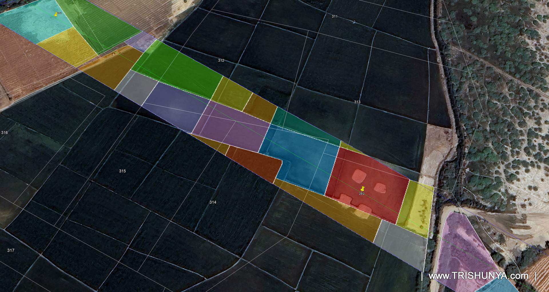
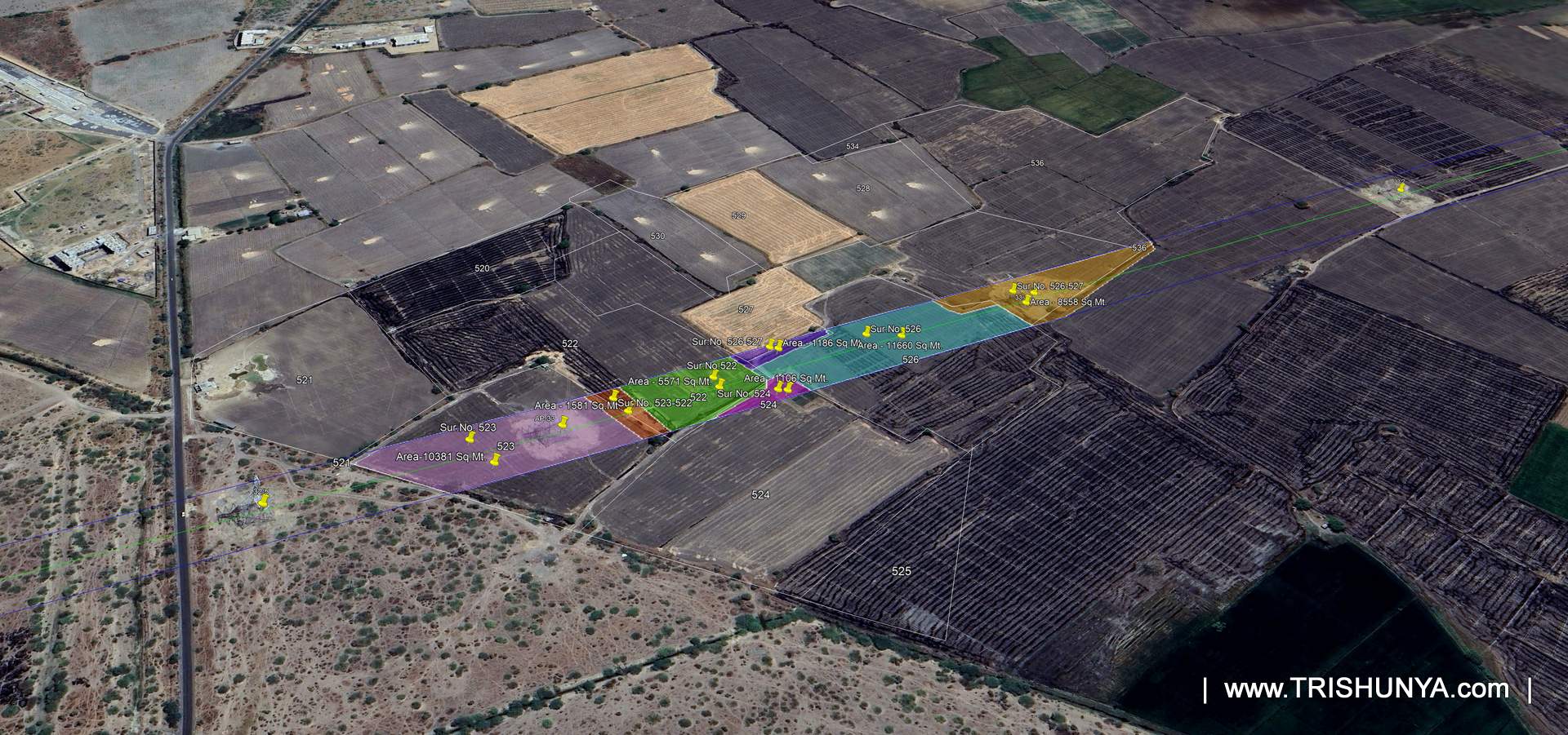
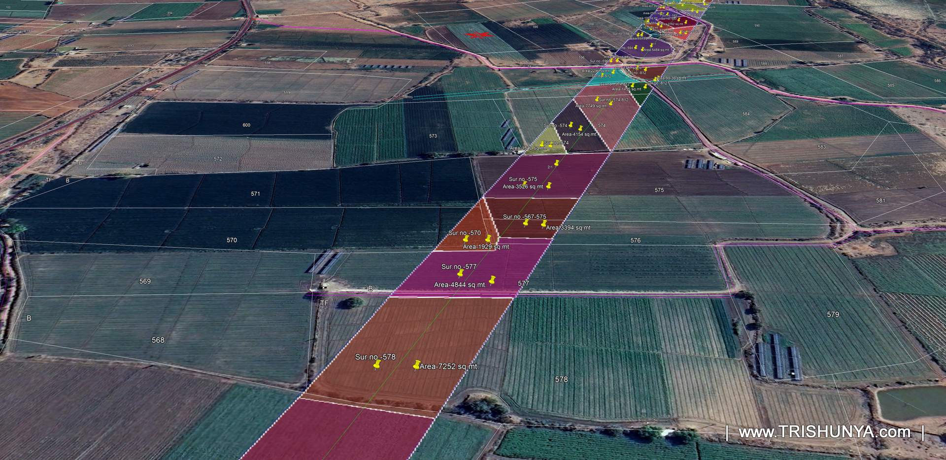
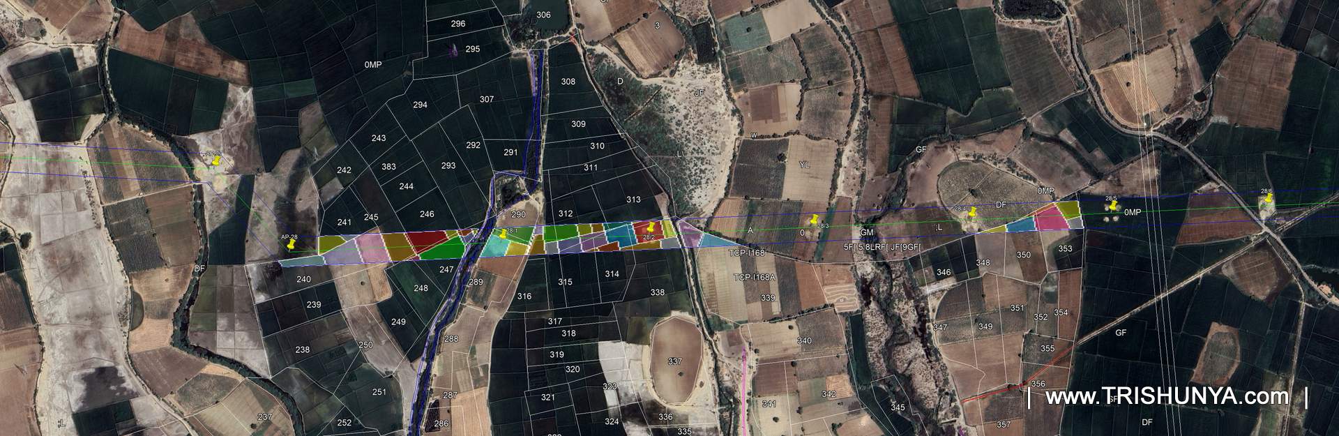
Raw survey points are not what a client needs for land acquisition. They need to know, survey number by survey number, exactly how much of each farmer's land falls inside the corridor, because that number drives compensation, negotiation, and every subsequent approval. Trishunya's office team converted the field data into a KMZ file overlaid on Google Earth, with each affected survey number colour coded by the area of land it lost to the corridor.
That KMZ file, along with drawings and data sheets, became the working reference the client used internally to plan land acquisition documentation, farmer by farmer, survey number by survey number. It is a small file in terms of size, but it carries the entire commercial weight of the acquisition process behind it.
Two Months, One Corridor, No Shortcuts
Fieldwork on this transmission line corridor survey ran for a little over a month, spread across intervals rather than one continuous stretch, since land access, weather, and farmer coordination all had to line up. Including documentation, the full project took around two months from first site visit to final handover. What made it work was not a single clever technique, it was the routine: police escort where needed, base station reset each morning, corridor walked around every fence rather than through it, and every point converted into data the client could actually act on.
That kind of patient, field tested process is what Trishunya brings to land surveying and land acquisition support for linear infrastructure projects. Where the terrain gets in the way, our drone survey service supplements ground DGPS work for faster alignment checks, all built on the same DGPS foundation used across this corridor.
Planning a transmission line corridor survey?
Trishunya handles DGPS ground survey, drone alignment checks, and land acquisition documentation as one coordinated scope.
Get a Survey Quote on WhatsApp