Open Land Survey Cost in India: What DGPS and Total Station Pricing Actually Looks Like
A farmer wanting his plot boundary marked and a state agency acquiring 40 hectares for a canal alignment are both, technically, asking for the same thing: an open land survey. But the price they will be quoted can differ by a factor of ten, and most of that difference has nothing to do with negotiation. It comes down to which equipment is used, what the deliverable actually contains, and how the land itself behaves underfoot.
This is where a lot of confusion starts. Survey pricing in India is rarely published anywhere, so buyers either get a number with no context or assume every survey costs the same per acre. Neither is accurate. Below is how the industry actually prices open land work, broken down by survey type, equipment, and area, based on standard field practice for total station and DGPS based cadastral, contour, and topography surveys.
Total Station vs DGPS: Two Different Working Principles
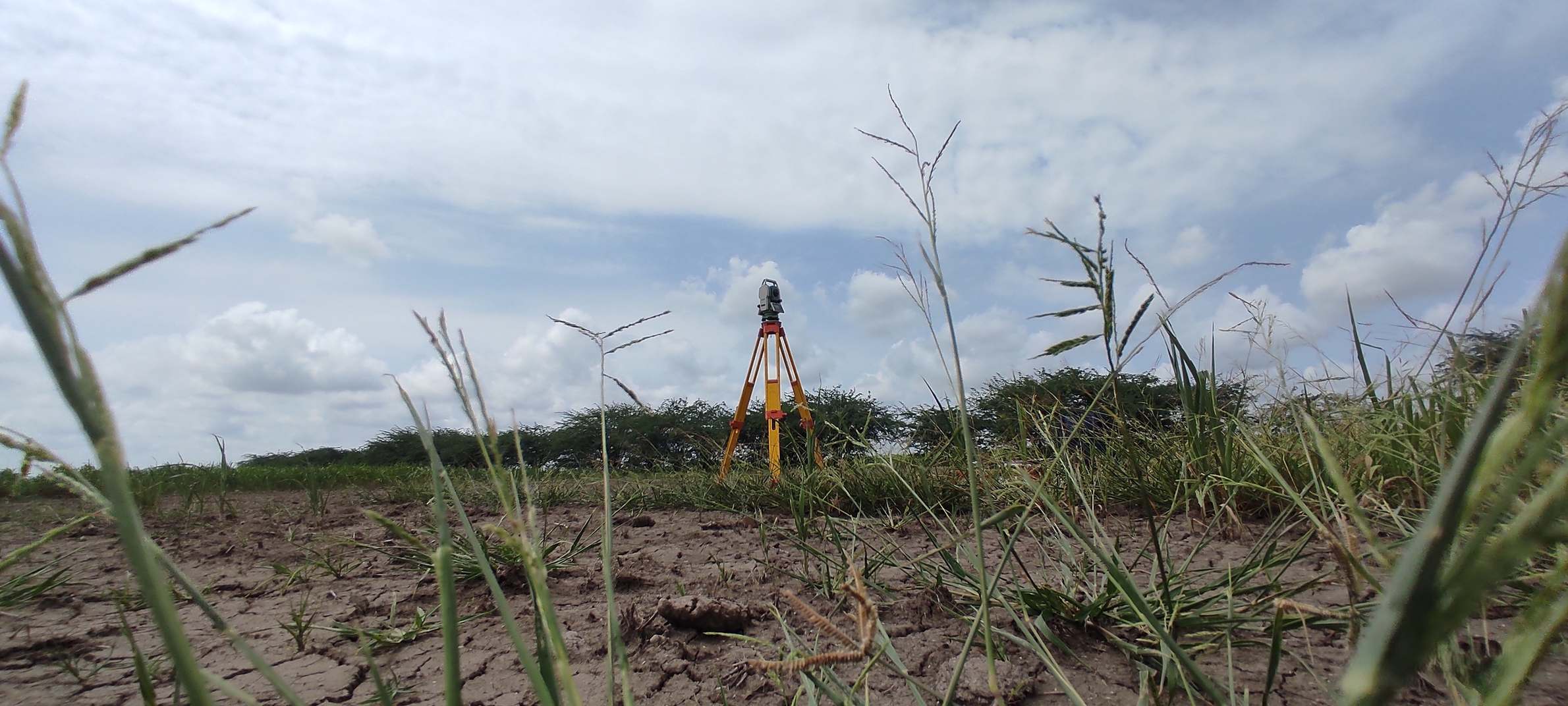
Both instruments are used for accurate DGPS & RTK Survey work in India, but they solve the accuracy problem differently. A total station works on line of sight. The instrument and the prism being surveyed must physically see each other, so every time a tree, a wall, or a fold in the terrain blocks that line, the surveyor has to change station, re-level the instrument, and re-establish the setup. Each station change is a small opportunity for error, and errors from multiple stations compound once the data is stitched together in post-processing.
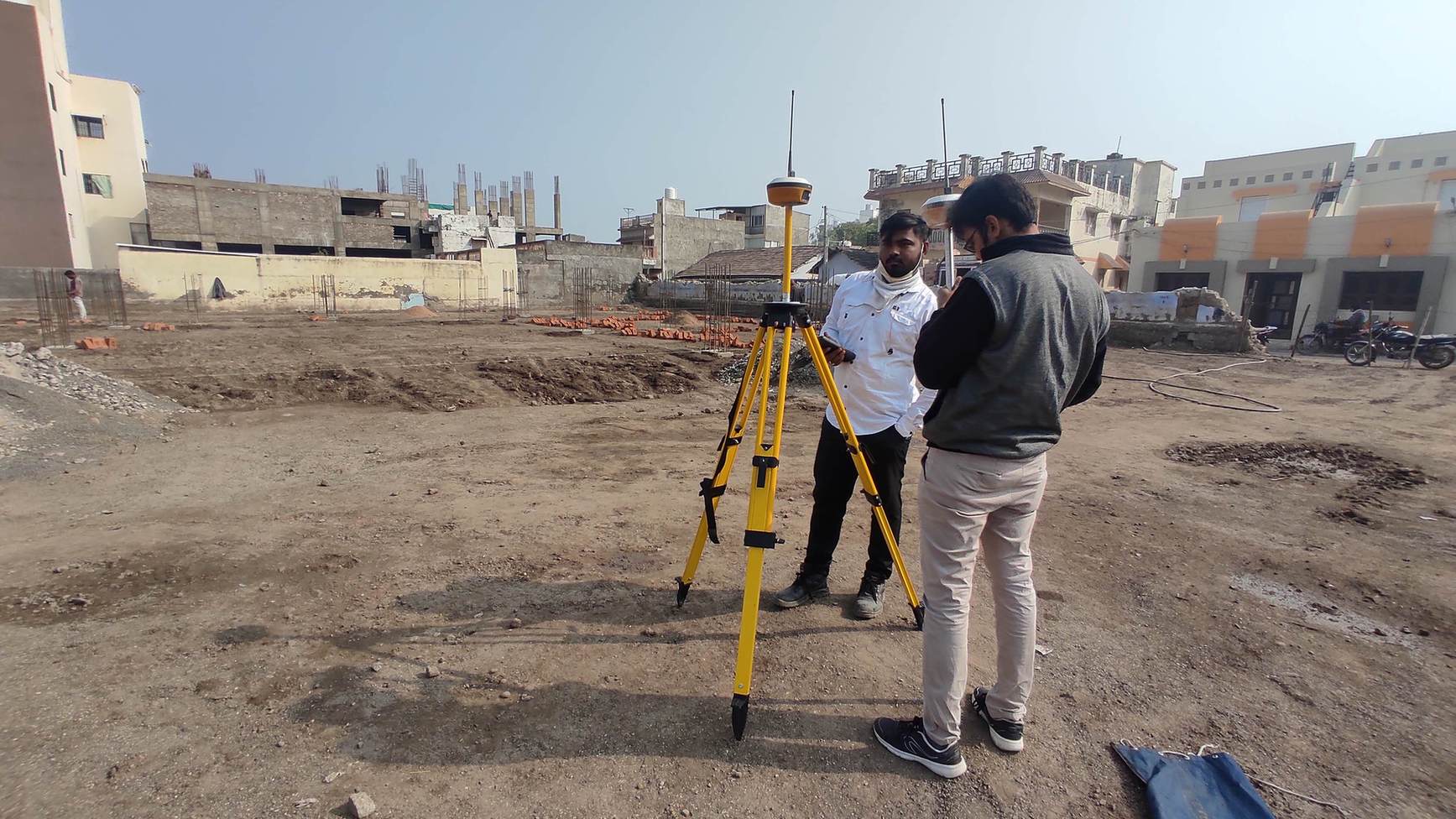
DGPS works differently. It reads position from satellites and communicates with the base station over radio, so it does not need a clear line of sight to any second point, only a good open sky view. That is precisely why DGPS has become the default for open, accessible land in the last several years: fewer setups, faster coverage, and accuracy that holds up over larger areas without the station-change penalty.
Best suited to smaller, obstruction-free plots where every point is directly visible from a limited number of setups. Requires more station changes on irregular or vegetated land, which adds field time and slightly higher chances of cumulative setup error.
The practical default for open land, agricultural plots, and cadastral boundary work. No line-of-sight requirement, faster area coverage per day, and consistent accuracy across large, continuous stretches of land.
Recommended once an area crosses roughly 200 hectares, or when the terrain is genuinely remote or inaccessible on foot. Drone survey covers ground far faster than any walked survey, though it is a separate pricing and methodology track from DGPS or total station work.
Open Land Survey Pricing by Type
Pricing for open land is quoted two ways depending on scale. Small areas, generally under a hectare, are quoted lump sum because the surveyor's transport and site visit cost has to be recovered regardless of plot size. Larger areas are quoted per hectare, with the rate reducing in slabs as area increases, since fixed mobilisation costs get spread across more ground.
1. Boundary or Cadastral Survey
This is the base survey type: measuring plot or farmland boundary and computing total area. It forms the reference rate for the other two survey types below.
| Area Slab | Rate per Hectare |
|---|---|
| Up to 10 Ha | ₹2,000 / Ha |
| 10 Ha to 20 Ha | ₹1,500 / Ha |
| 20 Ha to 50 Ha | ₹1,000 / Ha |
| 50 Ha to 100 Ha | ₹800 / Ha |
| Above 100 Ha | ₹500 / Ha |
For plots smaller than one hectare, the per-hectare slab does not apply. Surveyors typically charge a flat minimum of around ₹10,000 per site visit, covering transport, TA-DA, and the field day itself, assuming the site is within roughly 50 km of the surveyor's base. Above 200 hectares, drone survey is generally the more practical route instead of DGPS or total station.
2. Contour or Level Survey
A contour survey captures elevation across the entire plot at a defined grid, not just the boundary corners, which means the surveyor has to physically walk the full interior of the land rather than just its perimeter. That additional field effort is reflected in the price: roughly 1.5 to 1.8 times the boundary survey rate, working out to approximately ₹3,000 per hectare under standard conditions.
3. Topography Survey
Topography adds feature capture on top of boundary and level data: buildings, wells, trees, utility poles, roads, and any other physical feature on site. This is the most complete and most time-intensive of the three, both in the field and in post-processing while the drawing is prepared, and typically runs up to ₹5,000 per hectare.
Survey is not 100 percent field work. A day spent on site is almost always matched by additional hours in the office processing data and preparing the drawing, and that post-processing effort is already built into every rate above. Field practice note, open land survey operations
Linear Survey Pricing: Canals, Roads and Transmission Lines
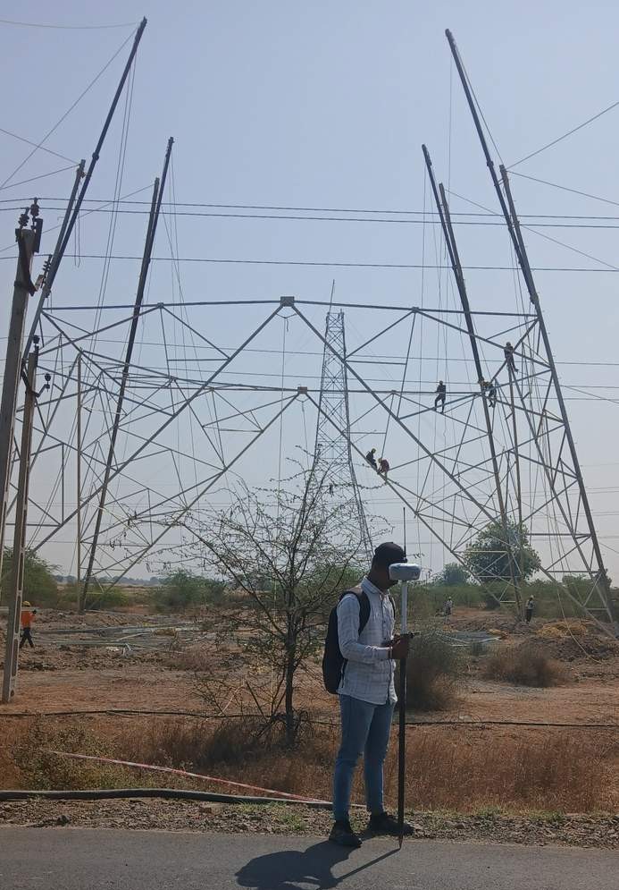
Not every survey is area-based. Canal alignments, road corridors, and Power Transmission Line projects are surveyed as linear stretches, typically with a Right of Way (ROW) of up to 50 metres width. The surveyor has to walk that width repeatedly along the full length, and roughly one linear kilometre works out to about five hectares of equivalent survey effort.
| Survey Type | ROW Width | Rate |
|---|---|---|
| Linear Survey (canal, road, transmission line) | Up to 50 m | ₹10,000 / km (₹10 per metre) |
Boundary survey only needs perimeter points, so a DGPS team can cover roughly 50 hectares a day. Contour survey requires an internal grid, which drops daily capacity to around 20 hectares. Topography survey adds feature capture at up to 100 points per hectare, which brings daily capacity down further, to roughly 10 hectares, since every physical feature has to be individually located and logged.
Total station's line-of-sight requirement means more station setups on the same land, and each setup takes time to level and calibrate. On open, obstruction-free land it still performs well, typically around 30 hectares a day for boundary survey, but it falls behind DGPS as obstructions increase.
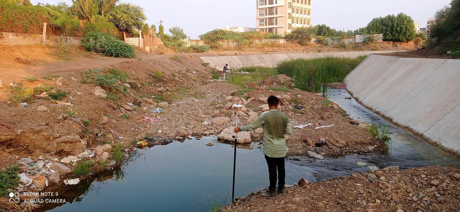
Difficult access, hilly or remote terrain, river streams or creeks crossing the site, higher feature point density required by the client, and extreme weather all add field time beyond the standard rate. These factors are site-specific, which is why every quote should be based on an actual conversation about the land, not a flat number pulled from a table.
Once an area crosses roughly 200 hectares, or when the land is remote enough that walking every point is impractical, drone survey becomes the more efficient method. A DGPS or total station team can cover about 500 hectares a day for area survey by drone versus much lower ground-walked capacity, though pricing and deliverables for drone survey follow a separate methodology.
Why Field Access Still Decides the Final Number
Every rate above assumes reasonably standard conditions: accessible land, moderate weather, and a site within normal travel range of the survey team. Real projects rarely stay that tidy. A field crew doing a canal alignment survey through creek crossings and unstable banks will need more time than the same linear distance across flat open ground. Hilly terrain multiplies both the walking time and the number of total station setups required, which is exactly the kind of variable that a published rate card cannot capture.
This is also where land acquisition work adds its own pressure. When a survey feeds into government land acquisition, the accuracy has to be defensible, because the output directly determines what compensation a landowner receives for their land. That is not a place to cut corners on point density or grid spacing just to hit a lower quoted price.
Not sure which survey type your land actually needs?
Boundary, contour, and topography surveys solve different problems and are priced differently for a reason.
See Topography Survey DeliverablesCalculate Your Approximate Survey Cost
The calculator below applies the standard boundary (area) survey slab rates from the table above. It gives a starting estimate only, the final number for your land depends on terrain, access, and feature density.
🔢 Open Land Area Survey Cost Calculator
Rate slabs: ₹2,000/Ha (up to 10 Ha) · ₹1,500/Ha (10 to 20 Ha) · ₹1,000/Ha (20 to 50 Ha) · ₹800/Ha (50 to 100 Ha) · ₹500/Ha (above 100 Ha). Areas under 1 Ha are subject to a ₹10,000 minimum site visit charge. Above 200 Ha, drone survey is generally recommended instead.
On projects where the land includes river streams, creek crossings, or patches that are not directly walkable, the effective daily coverage drops well below the standard DGPS capacity figures. Flagging this to your surveyor before the visit, rather than after, avoids a mismatch between the initial estimate and the final invoice.
Watch: DGPS and Total Station Survey in the Field
What a Standard Survey Deliverable Includes
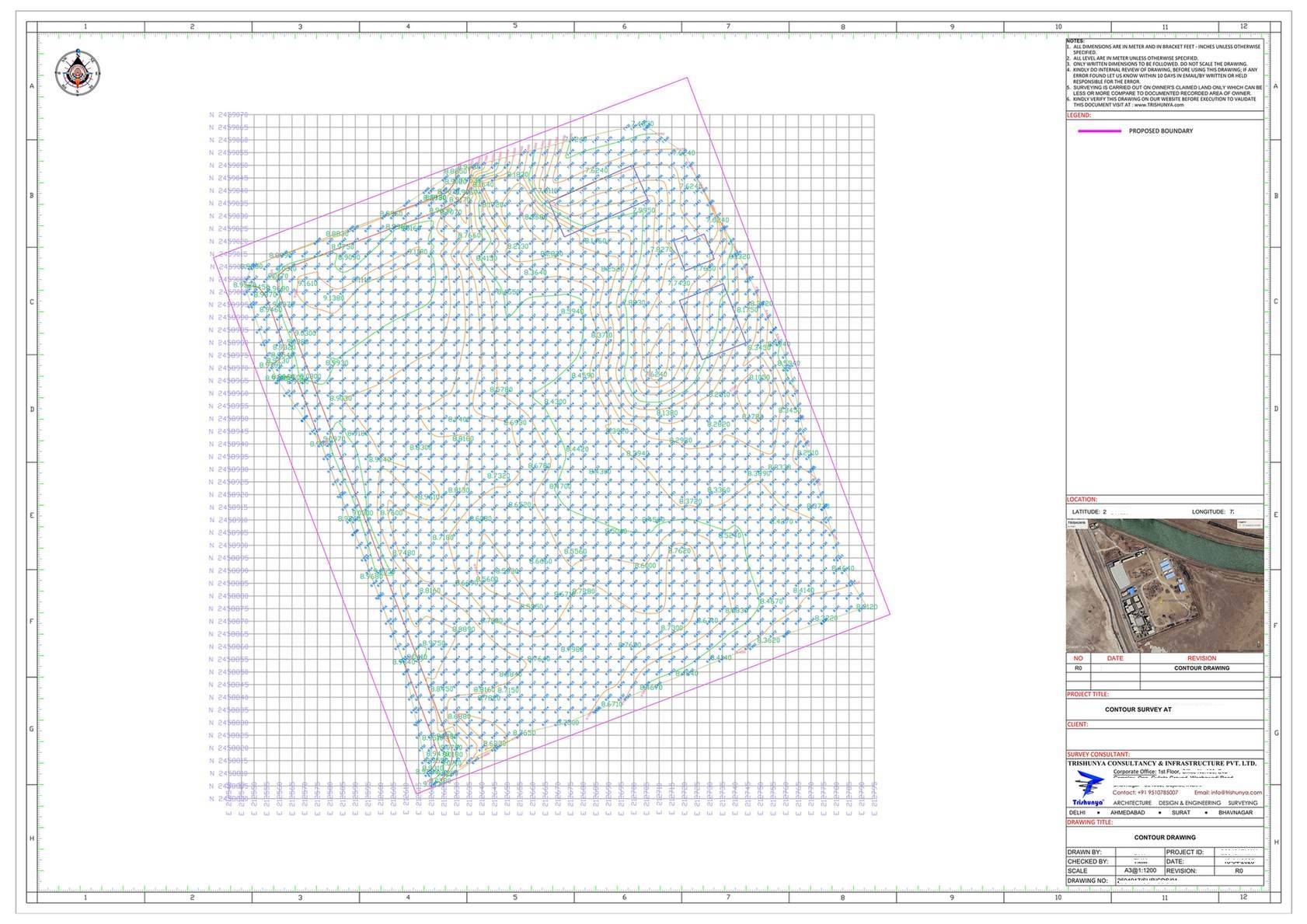
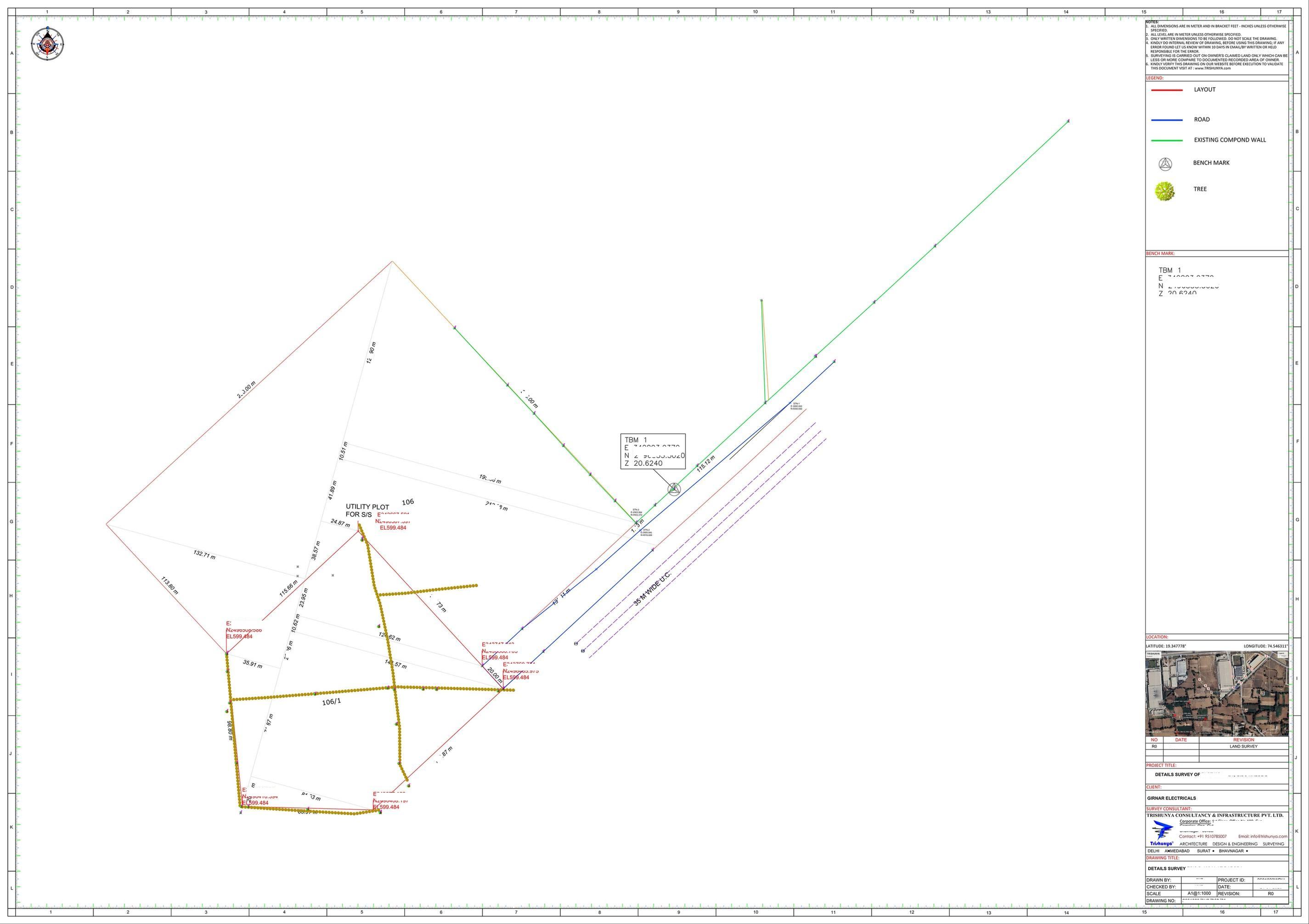
A regular land survey deliverable is a basic, functional drawing, not an architectural rendering. It shows the surveyed points, the plan of the area covered, the computed area, and whatever contours or features were within scope. That is usually all a landowner or agency actually needs to understand their land, and building anything more elaborate would add cost without adding usefulness for most cadastral or acquisition purposes.
Land Acquisition: Where Accuracy Has Real Financial Weight
A meaningful share of area survey work in India exists to support land acquisition, where government bodies need defensible area data before compensating landowners fairly. In these projects the survey output is not just a drawing for reference, it becomes the basis of a legal and financial decision, so grid density, feature capture, and area computation all need to hold up to scrutiny.
Getting a Number You Can Actually Rely On
The rates in this article reflect standard conditions on reasonably accessible open land. The moment terrain, access, weather, or point density move away from standard, the number moves with them, and that is exactly why a proper survey quote is a conversation, not a lookup table. Trishunya's field teams work through DGPS and total station based cadastral, contour, and topography survey daily, and the fastest way to get an accurate figure for a specific plot is to walk through the site details directly with a surveyor.
Whether the requirement is a straightforward boundary survey for a single plot or a multi-kilometre linear alignment for a canal or transmission corridor, Trishunya's approach stays the same: confirm the actual site conditions first, then quote against them rather than a generic per-hectare number.