Total Station Survey Cost: What Point Marking and Plot Survey Actually Cost in India
Ask three surveyors what a total station survey costs and you will likely get three different numbers, all technically correct. Total station pricing shifts depending on whether the job is marking 40 foundation points on a construction site, measuring a five acre farm boundary, or setting out a bridge pier to millimetre tolerance. None of these are the same task, even though a client hearing the word survey often assumes they are.
That confuses first time buyers expecting a single per acre or per day figure. In practice, total station work is priced by what it actually produces on the ground: points marked, area covered and computed, or a lump sum for jobs too small to price any other way. Here is how that pricing actually breaks down in the field, drawn from standard rates used across plot marking, foundation work, and land area survey.
Why Total Station Pricing Is Split by Point Count
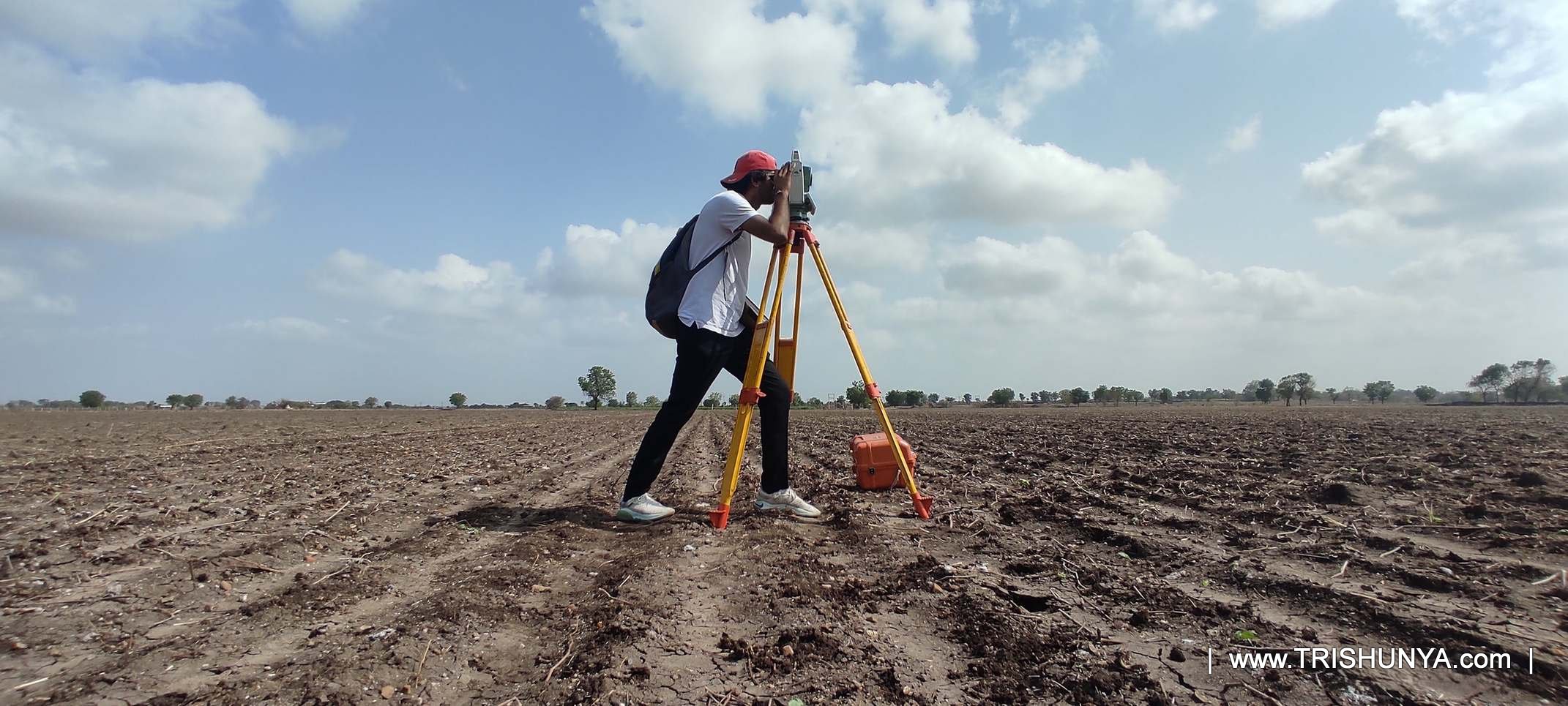
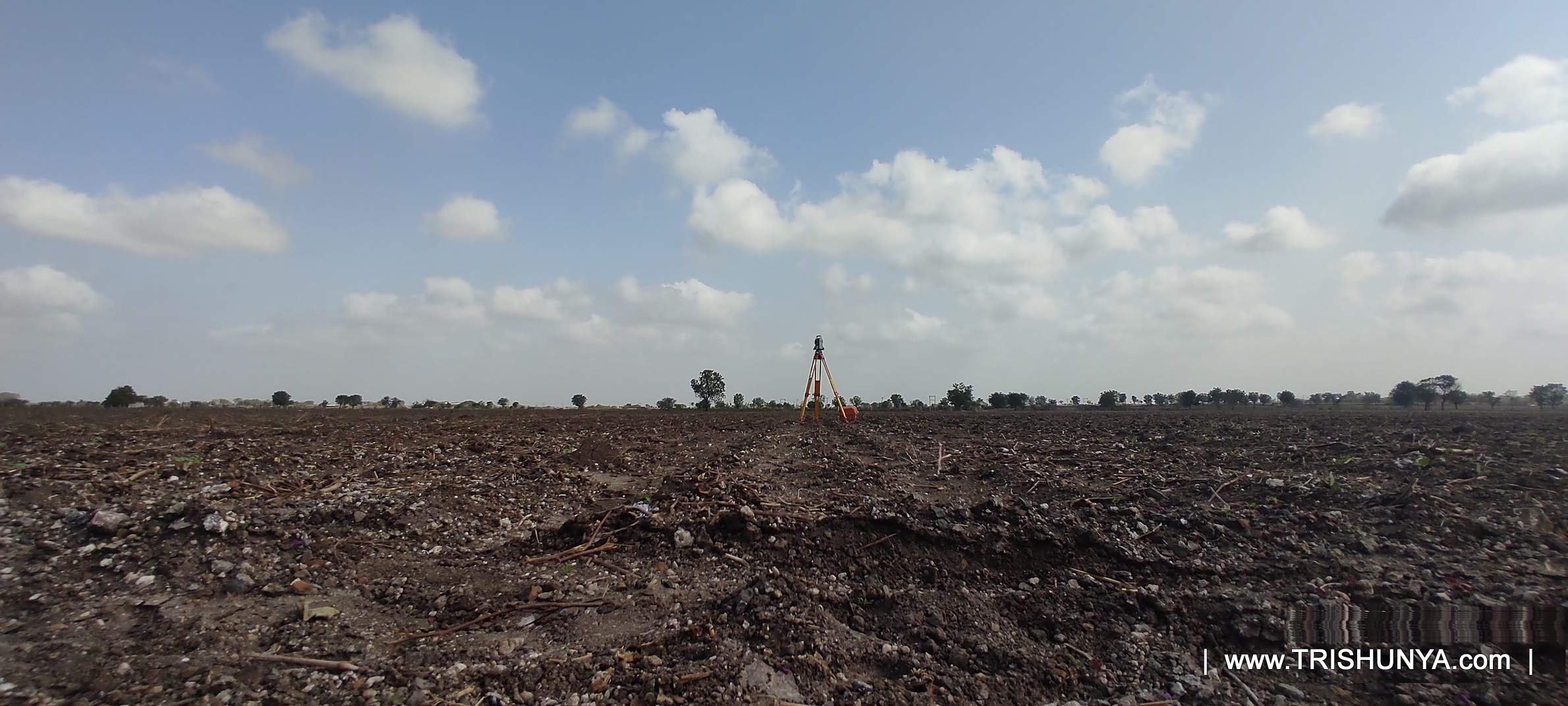
A total station measures by direct line of sight. The instrument has to physically see the prism at every single point it captures. On an open plot with no obstructions, a surveyor can knock out a hundred points in a normal field day without much trouble, since the instrument stays in one place and simply pivots between targets. That is the baseline the lower per point rate is built around, and it assumes reasonably clear ground.
Once a job crosses 100 points, the price per point actually drops rather than rises, since the survey has already justified the mobilisation cost of getting a team and instrument to site, and each additional point beyond that becomes marginal effort rather than a fresh setup cost. The opposite happens on precision critical jobs: bridges, high rise foundations, power plant sites, where tolerances tighten to 2mm and every setup gets checked against a control point and rechecked before the surveyor moves on. That is exactly where the Rs.400 per point rate comes from, and it is priced that way for a real reason. A marking error on a bridge pier is not something you fix later with an apology, it is something a structural engineer has to catch before concrete gets poured.
Standard point marking on open land rarely runs into line of sight problems, so a single setup often covers dozens of points.
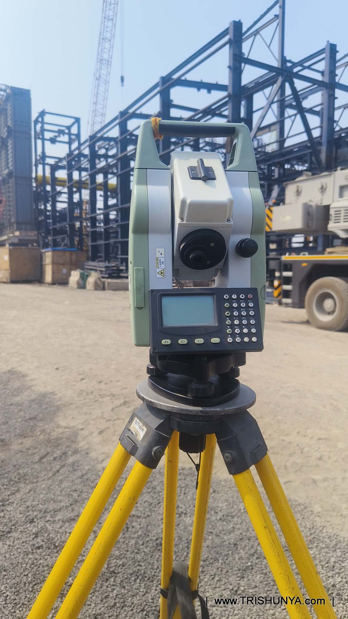
Each point defines where a column or footing gets cast, so tolerance sits tighter than open plot work.
Bridges, high rises, power plants: tolerance drops to 2mm, with every setup checked and re verified.
Total Station Survey Pricing by Job Type
Total station rates fall into three practical categories: point marking, area based land survey, and small lump sum jobs.
Point Marking Rates
Point marking is priced per point, and the rate depends on volume and precision, not distance walked. The same 60 points cost differently on a plot marking job versus a foundation marking job, because the acceptable margin of error differs. Precision critical marking is quoted separately again, since a 2mm accuracy target means more setup checks per point.
| Marking Type | Rate |
|---|---|
| Plot Marking (up to 100 points) | Rs.120 / Point |
| Plot Marking (over 100 points) | Rs.100 / Point |
| Foundation Marking (up to 100 points) | Rs.150 / Point |
| Foundation Marking (over 100 points) | Rs.120 / Point |
| Bridges, High-Rises, Power Plants | Rs.400 / Point |
Precision critical marking for bridges, high rises, and power plants is quoted separately from standard foundation work because the accuracy target is 2mm, not 5mm. That changes how many times a setup gets checked before a point is finalised.
Land Area Survey Rates
Farms and large open plots are priced per acre rather than per point, since the deliverable here is a full boundary survey and area computation rather than a set of individual marked points. A basic boundary survey runs Rs.1,000 per acre. Add a contour survey on top of that, meaning the surveyor also captures ground elevation across the plot at a defined grid rather than just the corner points, and the rate rises to Rs.2,000 per acre, because the crew now walks and measures the full interior of the land, not just the perimeter.
Small Job and Minimum Charges
Plots under roughly 1,000 square metres are quoted as a flat Rs.5,000 lump sum, covering up to two hours of field work within city limits, since a per-acre rate would work out unrealistically low for a job this size once transport and setup time are accounted for. Anything smaller still falls under the overall minimum charge of Rs.10,000, which covers a field day of up to five hours regardless of how small the actual plot is. Mobilising a survey team and instrument to a site costs roughly the same whether the plot measures 200 square metres or 2,000, which is exactly why a minimum charge exists in the first place.
"Line of sight is everything with a total station. The job isn't slow because the instrument is slow. It's slow because of how many times you have to move it." Field practice note, total station operations
What a Point Marking Deliverable Actually Includes
A marking job is not just the physical peg on the ground. It includes the field measurement, a coordinate list matched to the reference control point, and, where scope calls for it, a primary drawing for the client's record, already folded into the per point rate.
| Deliverable | Included In Rate | Notes |
|---|---|---|
| Marked point on ground | All marking jobs | Physical peg, paint, or nail mark as per scope |
The mobilisation cost, travel, setup, and instrument calibration, is largely fixed regardless of point count. Spread across more than 100 points, the marginal cost per point is lower, so the rate drops from Rs.120 to Rs.100 for standard plot marking.
Plot marking establishes boundary or reference points, typically to about 10mm accuracy. Foundation marking sets out points construction will physically build on, columns and footings, held to a tighter 5mm tolerance and priced slightly higher.
These structures carry safety critical tolerances of 2mm. Every setup is checked against a control point before and after marking, adding real field time per point compared to standard construction marking.
Yes. Total station based land survey carries a Rs.10,000 minimum covering up to five hours of field work, regardless of plot size, since mobilising a surveyor and instrument to a site has a largely fixed cost.
A boundary survey only measures the perimeter and computes area, at Rs.1,000 per acre. A contour survey also captures elevation across the interior of the plot, at Rs.2,000 per acre, since the surveyor has to walk and measure the full area, not just its edges.
Where the scope of work includes a survey, yes. Primary drawing preparation from the total station data is already factored into the given rates, not billed as an extra line item.
It measures by sending a laser to a prism and reading the reflected signal. If a wall, tree, or slope blocks that path, the instrument cannot capture the point, and the surveyor has to physically relocate the setup to a position with a clear view.
Yes, for area survey and contour survey work. On very large or obstructed plots, more station changes are required compared to open, unobstructed land, which adds field time.
Standard open land point marking is typically accurate to around 10mm. Foundation marking tightens to 5mm, and critical structure marking for bridges or power plants holds to 2mm.
These are quoted as a flat lump sum, generally Rs.5,000, covering up to two hours of field work within city limits, rather than a per acre or per point rate.
Reading an Old Survey? You May Be Looking at Chain and Link Units
Not every survey a client hands over uses metric units. Older cadastral drawings, the kind still surfacing from government land records across India, were surveyed using chain and link measurements long before total stations or even basic electronic instruments existed. A notation like 26-13 on an old tippan drawing means 26 chains and 13 links, not 26.13 of anything metric, and misreading that distinction has genuinely caused boundary disputes.
That reconciliation is its own small piece of fieldwork most clients do not anticipate when they first ask for a quote, and it can add a modest amount of office time on top of the standard field rate, particularly when the old drawing is faded or torn.
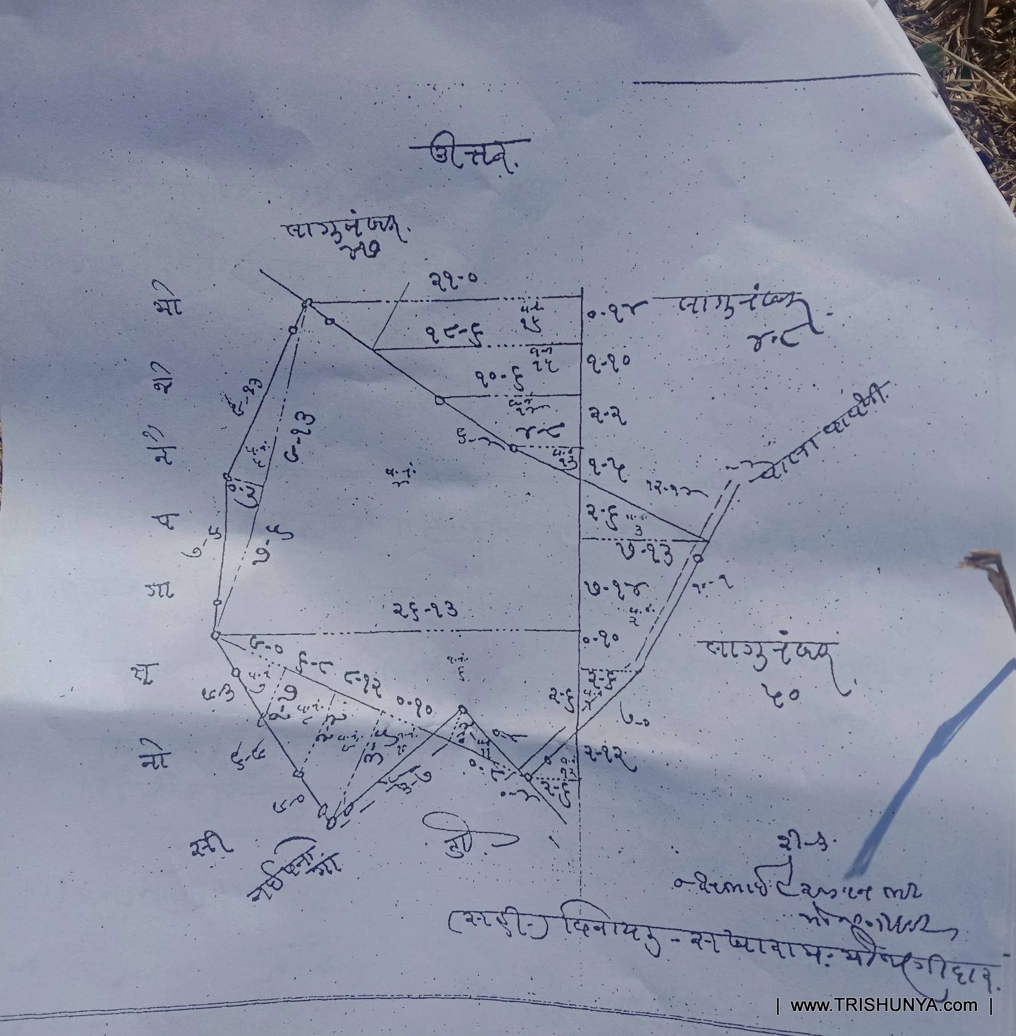
Working from an old survey record?
Chain and link drawings, disputed boundaries, or unclear old tippans need to be reconciled before a fresh total station survey can begin, particularly on land headed for acquisition.
See Land AcquisitionOn industrial sites, wind turbine foundations, structural alignment checks, total station work runs alongside ongoing construction, so scheduling around site activity matters as much as the survey itself.
Watch: Total Station Survey in the Field
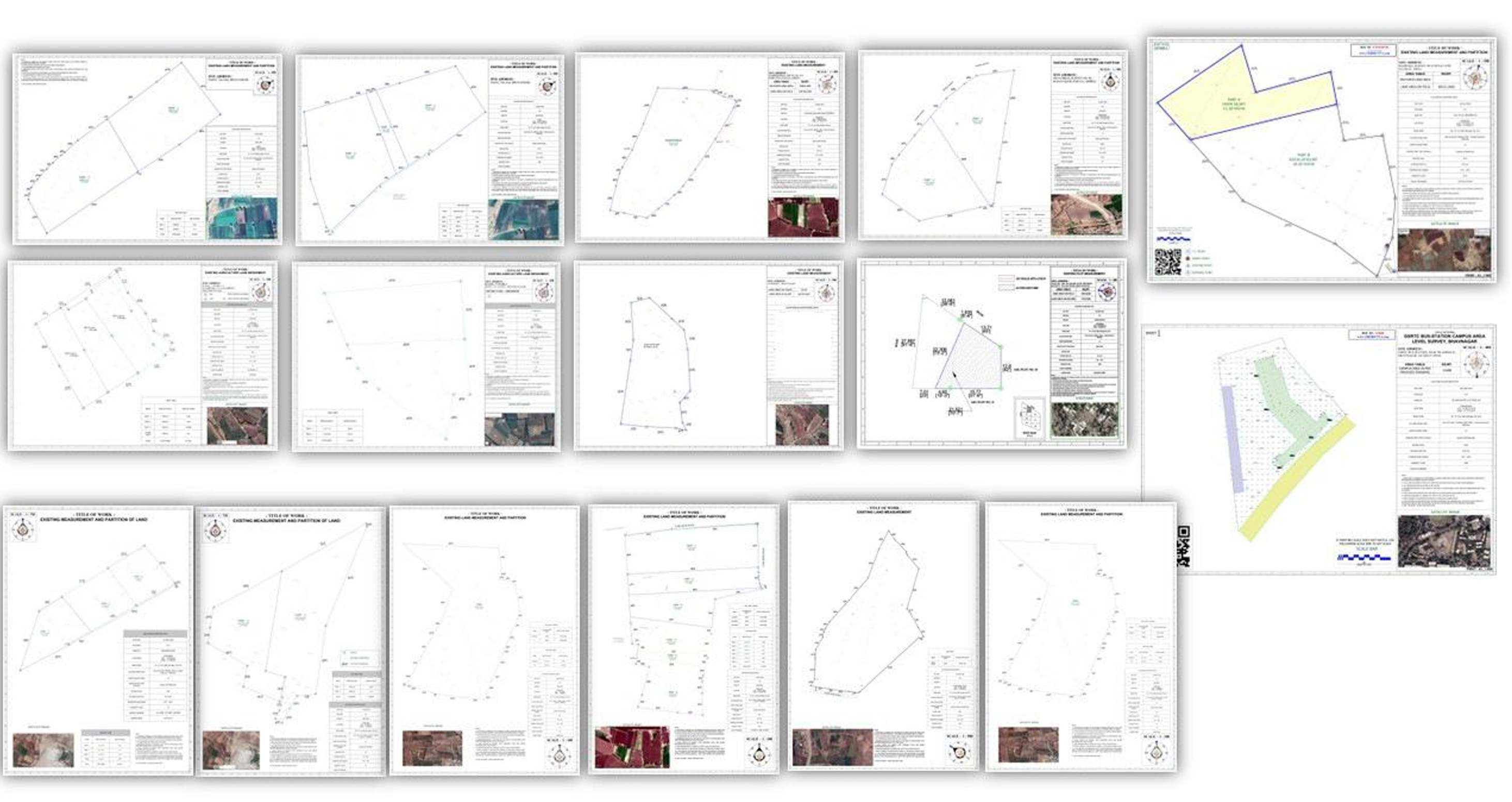
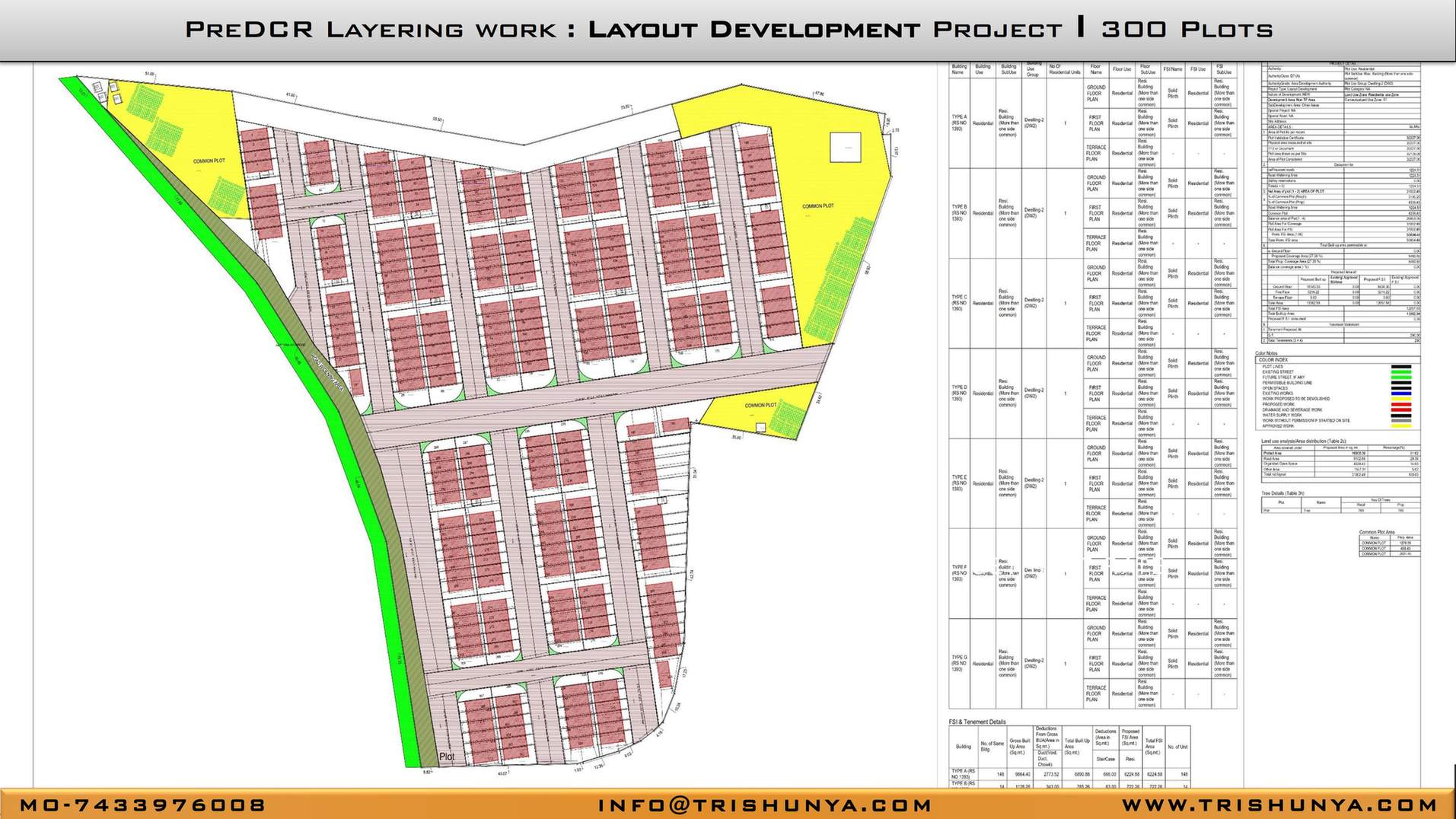
What the Survey Drawing Looks Like
Once field data is collected, it moves to drawing preparation: plotting points, computing area, and laying out whatever contour or feature data the scope calls for. This is the deliverable a client keeps and references long after the field visit ends.
Field Conditions That Push Rates Above Standard
The rates above assume reasonably normal field conditions. Monsoon surveys, night marking work, or sites with heavy existing construction all add time the standard rate does not account for, and a fair quote reflects that.
More From the Field


Closing
Total station pricing looks complicated only because it is genuinely doing three different jobs under one instrument: point marking, area survey, and small lump sum work, each with its own logic for how the rate is set. Once you know which category a project actually falls into, and whether the tolerance required is standard or precision critical, the rate that applies becomes fairly predictable rather than a mystery number handed down from a quote sheet.
Whether the requirement is marking a hundred foundation points on a construction site, surveying a five acre farm boundary, or setting out a bridge pier to 2mm tolerance, Trishunya's field teams run total station surveys across India daily, and the fastest way to get an exact number for a specific site is to walk through the scope directly with a surveyor rather than guess from a general rate table.